Garden Island Naval Precinct, Sydney
Map
Facts and practical information
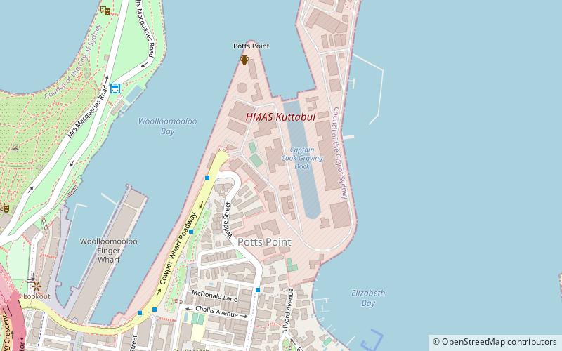
The Garden Island Naval Precinct is a heritage-listed naval base and defence precinct located at Cowper Wharf Roadway in the inner eastern Sydney neighbourhood of Garden Island in the City of Sydney local government area of New South Wales, Australia. The precinct was built from 1856. It includes the HMAS Kuttabul naval base, formerly known as HMAS Penguin. The property is owned by Australian Department of Defence. It was added to the Commonwealth Heritage List on 22 June 2004 and the New South Wales State Heritage Register on 12 November 2004. ()
Coordinates: 33°51'55"S, 151°13'35"E
Address
Eastern Suburbs (Potts Point)Sydney
ContactAdd
Social media
Add
Getting there by public transportation
Public transportation stops near this location
- Bus
- Light rail
- Train
- Ferry
 Bus
Bus
- Calculate routeAndrew Boy Charlton Pool 9 min walk
- Calculate routeKellett Street 18 min walk
- Calculate routeRoyal Botanic Gardens 21 min walk
- Calculate routeStand B, Martin Place 21 min walk
- Calculate routeGarden Island 14 min walk
- Calculate routeDarling Point 20 min walk
- Calculate routeCircular Quay Wharf 2 23 min walk
- Calculate routeCircular Quay Wharf 3 24 min walk
- Calculate routeKings Cross 18 min walk
- Calculate routeMartin Place 24 min walk
- Calculate routeSt James 24 min walk
- Calculate routeCircular Quay 25 min walk
- Calculate routeCircular Quay 25 min walk
- Calculate routeBridge Street 28 min walk
- Calculate routeWynyard 29 min walk
- Calculate routeQvb 31 min walk
Maps Sydney TrainsMaps
 Sydney Light RailMaps
 Sydney Ferries
Sydney TrainsMapsSydney Light RailMapsSydney FerriesDay trips


Frequently Asked Questions (FAQ)
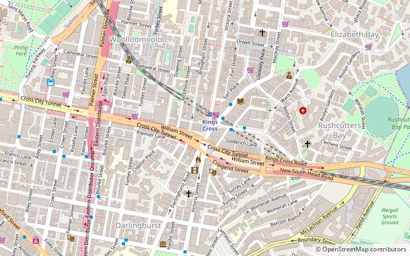
Which popular attractions are close to Garden Island Naval Precinct?
Nearby attractions include Garden Island Naval Chapel, Sydney (6 min walk), Elizabeth Bay House, Sydney (7 min walk), Edgerley, Sydney (7 min walk), 55 Victoria Street, Sydney (9 min walk).
How to get to Garden Island Naval Precinct by public transport?
The nearest stations to Garden Island Naval Precinct:
Bus
Ferry
Train
Light rail
Bus
- Andrew Boy Charlton Pool (9 min walk)
- Kellett Street • Lines: 200 (18 min walk)
Ferry
- Garden Island • Lines: F7 (14 min walk)
- Darling Point • Lines: F7 (20 min walk)
Train
- Kings Cross (18 min walk)
- Martin Place (24 min walk)
Light rail
- Circular Quay • Lines: L2, L3 (25 min walk)
- Bridge Street • Lines: L2, L3 (28 min walk)