Mount Petrie, Brisbane
Map

Gallery

Facts and practical information
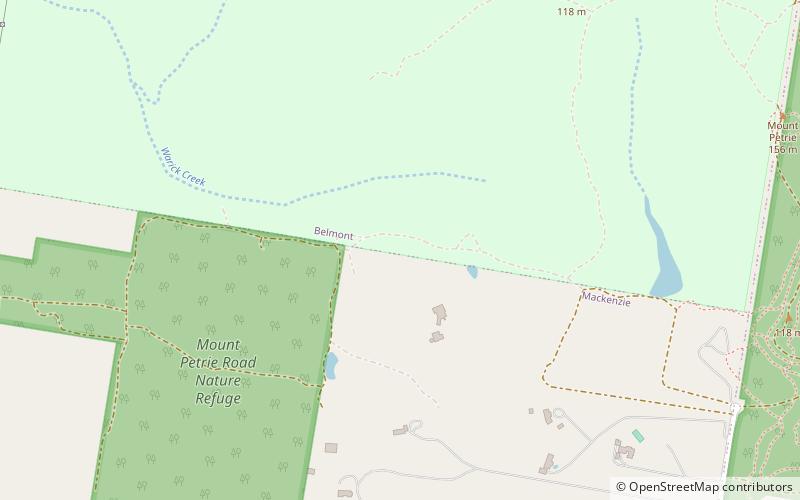
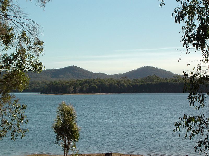
Mount Petrie is a mountain in the south east of the city of Brisbane, Queensland, Australia. The 170 metre rise is sometimes referred to as Petrie Hill. It elevates semi-rural residential parts in the suburbs of Mackenzie and Burbank. ()
Coordinates: 27°31'60"S, 153°7'60"E
Address
BelmontBrisbane
ContactAdd
Social media
Add
Day trips
Mount Petrie – popular in the area (distance from the attraction)
Nearby attractions include: Westfield Garden City, Westfield Carindale, Capalaba Park Shopping Centre, Mount Gravatt.
Frequently Asked Questions (FAQ)
How to get to Mount Petrie by public transport?
The nearest stations to Mount Petrie:
Bus
Bus
- Cribb Road at Cribb Road East • Lines: P201 (25 min walk)
- Scrub Road South terminus • Lines: P205 (25 min walk)


