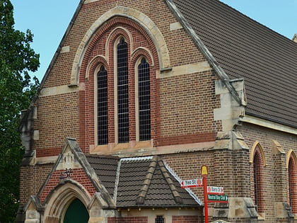
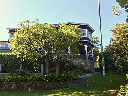
St Leonards Park, Upper North Shore
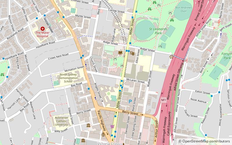
Map
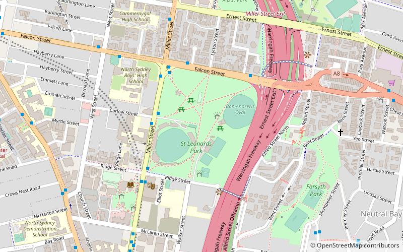
Map

Facts and practical information
St Leonards Park is a heritage-listed bowling club, 15-hectare urban park, rugby field and cricket oval at 283a Miller Street, North Sydney, North Sydney Council, New South Wales, Australia. It was designed by William Tunks, Mayor and built during 1838. It was added to the New South Wales State Heritage Register on 31 July 2015. ()
Elevation: 292 ft a.s.l.Coordinates: 33°49'52"S, 151°12'38"E
Address
North SydneyUpper North Shore
ContactAdd
Social media
Add
Day trips
St Leonards Park – popular in the area (distance from the attraction)
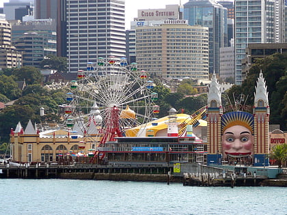
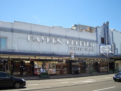
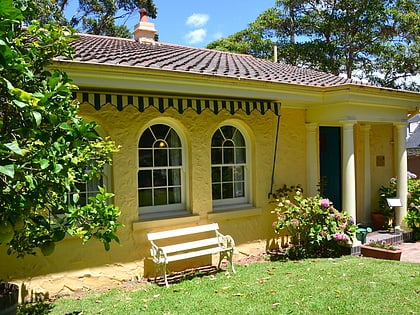
Nearby attractions include: Luna Park, Hayden Orpheum Picture Palace, North Sydney Oval, Don Bank Museum.
Frequently Asked Questions (FAQ)
Which popular attractions are close to St Leonards Park?
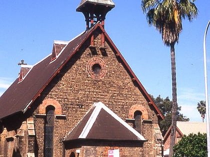
Nearby attractions include Stanton Library, Upper North Shore (6 min walk), North Sydney Council Chambers, Upper North Shore (8 min walk), Forsyth Park Playgroup, Sydney (8 min walk), St Thomas' Anglican Church, Sydney (8 min walk).

