Long Gully Bridge, Sydney
Map

Map

Facts and practical information
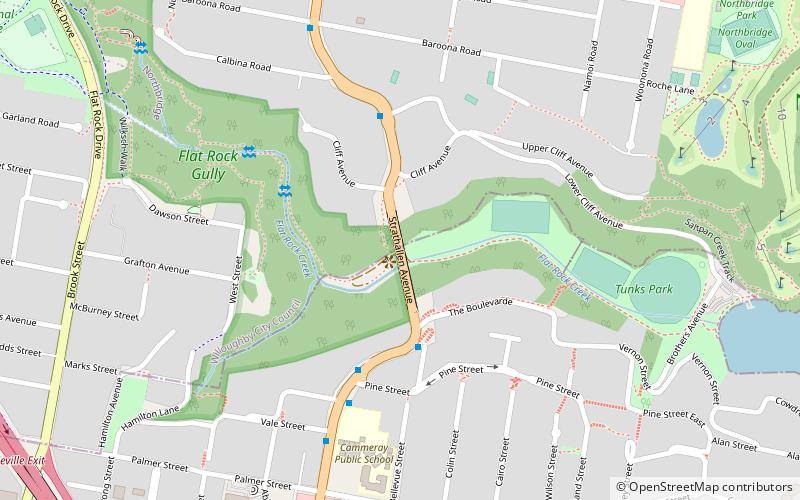
The Long Gully Bridge, also known as Northbridge, Suspension Bridge, and Cammeray Bridge, is a concrete arch road bridge that carries Strathallen Avenue across Flat Rock Creek and Tunks Park, and connects the suburbs of Cammeray, in the North Sydney Council local government area to its south, with Northbridge in the City of Willoughby local government area to its north, in Sydney, New South Wales, Australia. ()
Coordinates: 33°49'0"S, 151°12'44"E
Address
Willoughby (Northbridge)Sydney
ContactAdd
Social media
Add
Day trips
Long Gully Bridge – popular in the area (distance from the attraction)
Nearby attractions include: Hayden Orpheum Picture Palace, North Sydney Oval, St Leonards Park, St John's Uniting Church.
Frequently Asked Questions (FAQ)
Which popular attractions are close to Long Gully Bridge?
Nearby attractions include St Thomas Rest Park, Sydney (16 min walk), Naremburn Cammeray Anglican Church, Sydney (17 min walk).
How to get to Long Gully Bridge by public transport?
The nearest stations to Long Gully Bridge:
Bus
Train
Bus
- Crows Nest Terminus (24 min walk)
- Albany St • Lines: 290 (25 min walk)
Train
- St Leonards (29 min walk)
- Wollstonecraft (40 min walk)

 Sydney Trains
 Sydney Light Rail
 Sydney Ferries


