St Brigid's Church, Brisbane
Map

Map

Facts and practical information
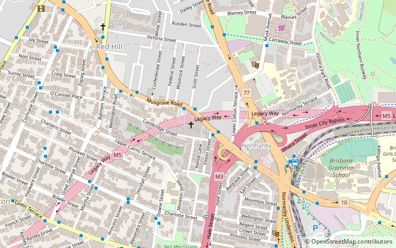
St Brigid's Church is a heritage-listed Roman Catholic church located at 78 Musgrave Road, Red Hill, City of Brisbane, Queensland, Australia. It was designed by Robin Dods and built from 1912 to 1914 by Thomas Keenan. It was added to the Queensland Heritage Register on 21 October 1992. ()
Coordinates: 27°27'27"S, 153°0'40"E
Day trips
St Brigid's Church – popular in the area (distance from the attraction)
Nearby attractions include: QueensPlaza, Brisbane Arcade, Roma Street Parkland, Suncorp Stadium.
Frequently Asked Questions (FAQ)
Which popular attractions are close to St Brigid's Church?
Nearby attractions include St Brigid's Convent, Brisbane (2 min walk), Kelvin Grove Fig Trees and Air Raid Shelter, Brisbane (5 min walk), La Boite Theatre Company, Brisbane (6 min walk), Neal Macrossan Playground, Brisbane (9 min walk).
How to get to St Brigid's Church by public transport?
The nearest stations to St Brigid's Church:
Bus
Train
Ferry
Bus
- Musgrave Road at Normanby Fiveways, stop 4 • Lines: 372 (5 min walk)
- Kelvin Grove Road at Normanby near College Road • Lines: 372 (7 min walk)
Train
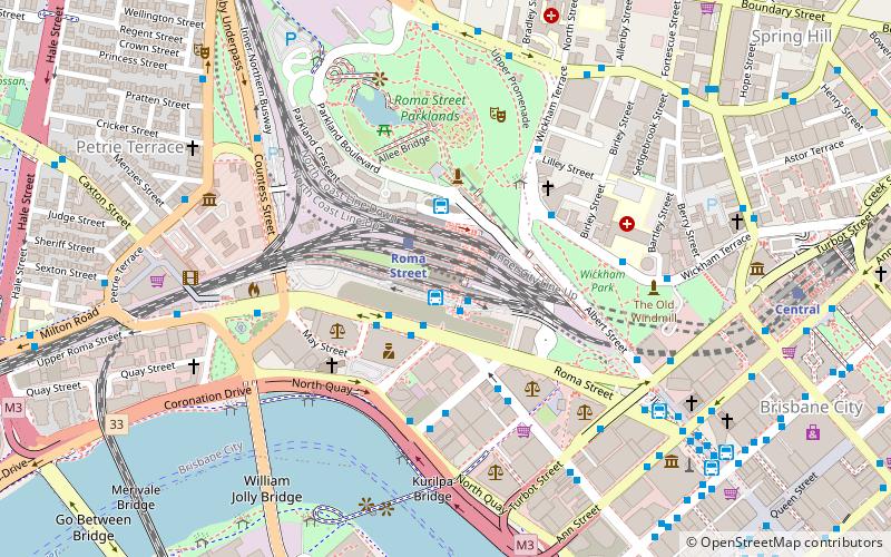
- Roma Street (18 min walk)
- Milton (23 min walk)
Ferry
- North Quay 1 • Lines: Chop-400, Uqsl-1410 (33 min walk)
- North Quay 2 • Lines: Chop-400 (33 min walk)


