Hindley Street, Adelaide
Map
Gallery
Facts and practical information
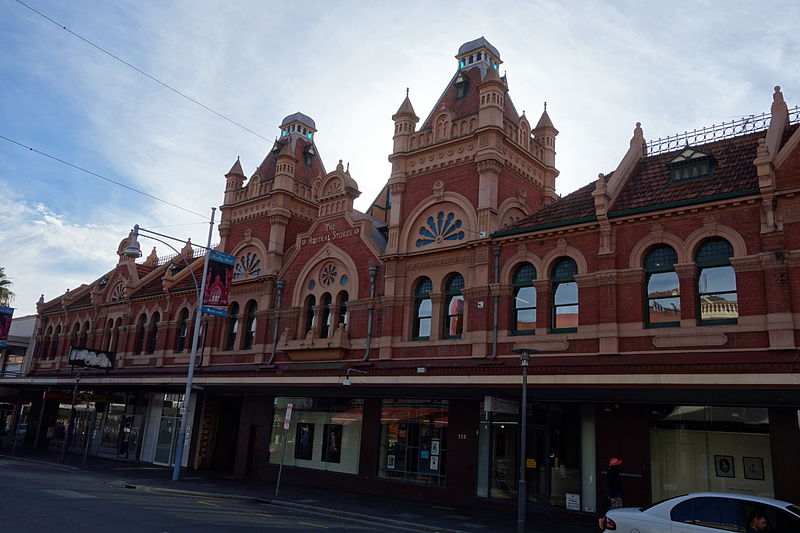
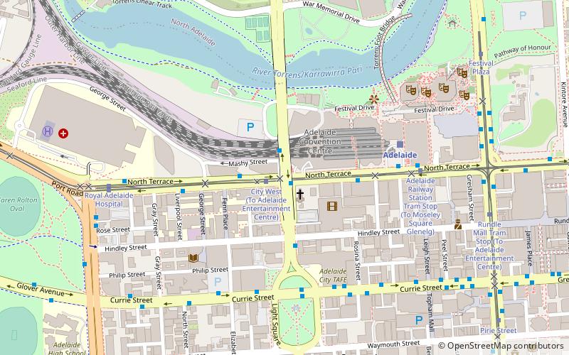
Hindley Street is located in the north-west quarter of the centre of Adelaide, the capital of South Australia. It runs between King William Street and West Terrace. The street was named after Charles Hindley, a British parliamentarian and social reformist. ()
Coordinates: 34°55'24"S, 138°35'38"E
Address
Adelaide (Adelaide City Centre)Adelaide
ContactAdd
Social media
Add
Day trips
Hindley Street – popular in the area (distance from the attraction)
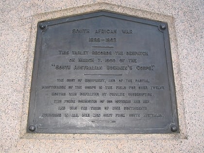
Nearby attractions include: South African War Memorial, City Cross Arcade, Her Majesty's Theatre, Myer Centre.
Frequently Asked Questions (FAQ)
Which popular attractions are close to Hindley Street?
Nearby attractions include JamFactory, Adelaide (2 min walk), Edge Church, Adelaide (2 min walk), Holy Trinity Church, Adelaide (2 min walk), ACE Open, Adelaide (3 min walk).
How to get to Hindley Street by public transport?
The nearest stations to Hindley Street:
Bus
Tram
Train
Bus
- Stop D1 Currie Street - North side • Lines: 830F (3 min walk)
- 85 Franklin Street • Lines: Adelaide bus station => Albury r, Adelaide bus station => Bendigo, Albury railway station => Adelai, Bendigo railway station => Adela (8 min walk)
Tram
- City West (4 min walk)
- Adelaide Railway Station Tram Stop (6 min walk)
Train
- Adelaide (6 min walk)
- Mile End (21 min walk)


