Bardwell Creek, Sydney

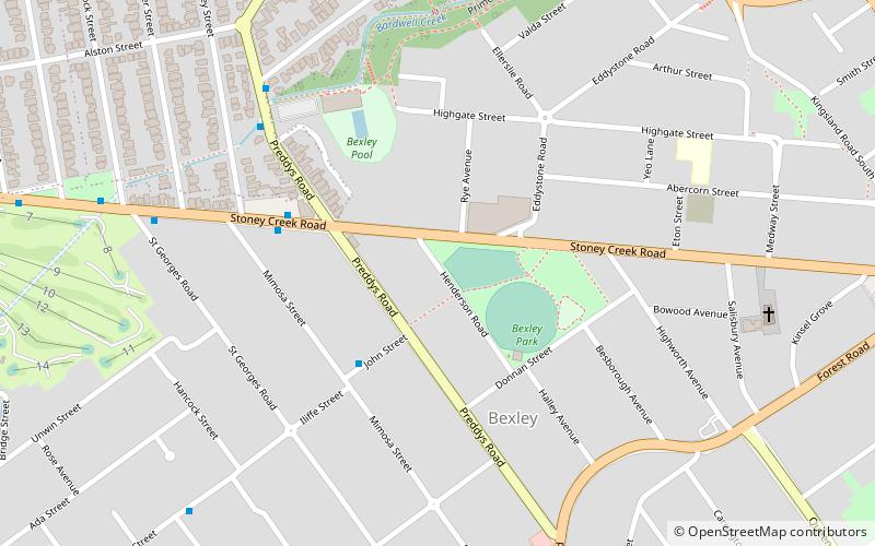
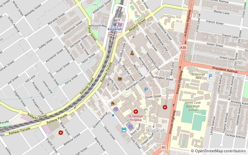
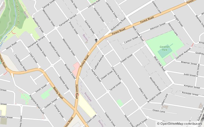
Map
Facts and practical information
Coordinates: 33°57'0"S, 151°7'0"E
Address
Rockdale (Bexley)Sydney
ContactAdd
Social media
Add
Day trips
Bardwell Creek – popular in the area (distance from the attraction)
Nearby attractions include: Westfield Hurstville, Hurstville Central, Kogarah ANZAC Memorial, Wolli Creek.
Frequently Asked Questions (FAQ)
How to get to Bardwell Creek by public transport?
The nearest stations to Bardwell Creek:
Bus
Train
Bus
- Mimosa Street • Lines: 410 (5 min walk)
- Bexley Swimming Centre • Lines: 410 (7 min walk)
Train
- Bexley North (23 min walk)
- Kingsgrove (29 min walk)
 Sydney Trains
 Sydney Light Rail
 Sydney Ferries


