Terrys Creek, Sydney

Map
Facts and practical information
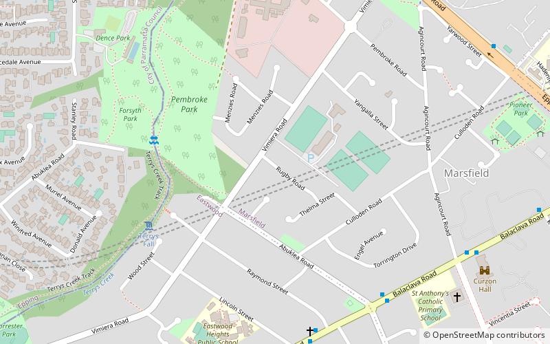
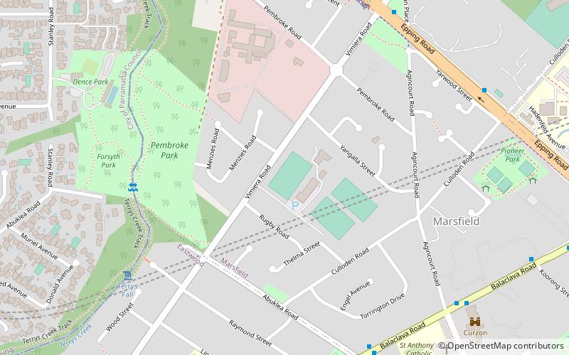
Terrys Creek, an urban watercourse that is part of the Lane Cove River catchment, is located in Northern Suburbs region of Sydney, Australia. It was named after Edward Terry who served as the first mayor of Eastwood municipality. ()
Coordinates: 33°46'40"S, 151°5'50"E
Address
Ryde (Marsfield)Sydney
ContactAdd
Social media
Add
Day trips
Terrys Creek – popular in the area (distance from the attraction)
Nearby attractions include: Macquarie University, Macquarie University Library, Epping Road, Macquarie University Real Tennis Club.
Frequently Asked Questions (FAQ)
How to get to Terrys Creek by public transport?
The nearest stations to Terrys Creek:
Bus
Metro
Train
Bus
- Abuklea Rd • Lines: 259, 545 (8 min walk)
- Raymond Street • Lines: 545 (8 min walk)
Metro
- Epping • Lines: Sydney Metro Northwest (24 min walk)
Train
- Eastwood (31 min walk)
 Sydney Trains
 Sydney Light Rail
 Sydney Ferries


