Epping Road

Map
Facts and practical information
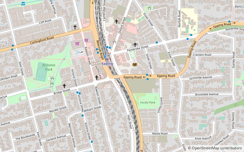
Epping Road is a 10-kilometre-long arterial road located on the North Shore of Sydney, New South Wales, Australia. Epping Road is a major route linking the lower North Shore and Sydney central business district to the north western suburbs of the upper North Shore and Hills District of metropolitan Sydney, being a major access road to the commercial, industrial and university areas of North Ryde and Macquarie Park. ()
Coordinates: 33°46'26"S, 151°4'59"E
Location
New South Wales
ContactAdd
Social media
Add
Day trips
Epping Road – popular in the area (distance from the attraction)
Nearby attractions include: Top Ryde City, Macquarie Centre, Balaka Falls, Carlingford Court.


