Buranda, Brisbane

Gallery (1)
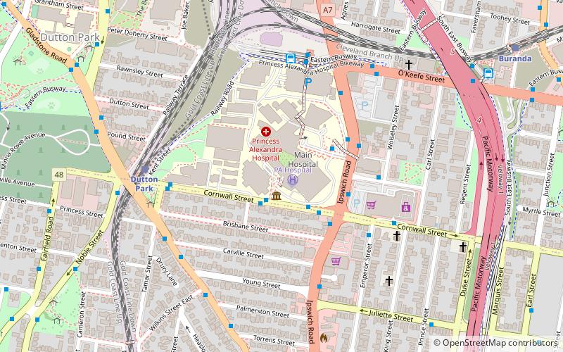
Map
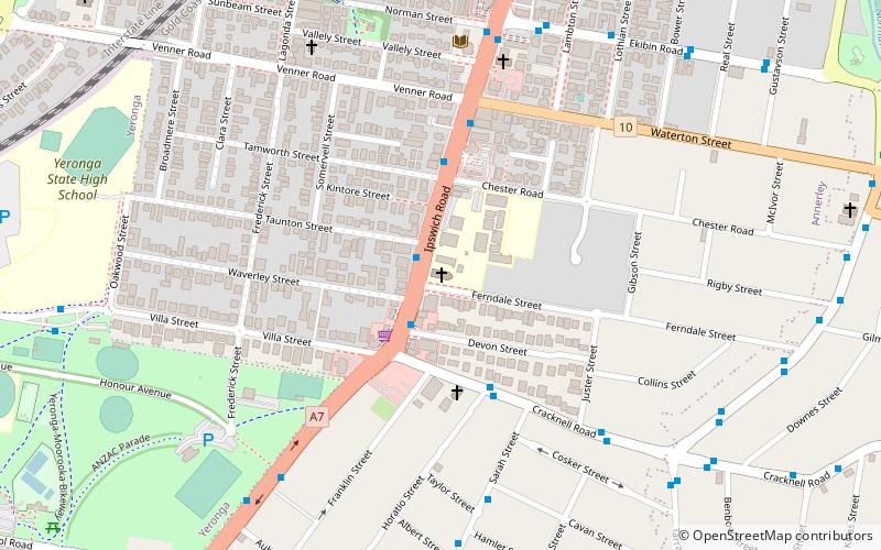
Map
Facts and practical information
Buranda is a locality in the southern Brisbane suburbs of Greenslopes and Woolloongabba in Brisbane, the capital of Queensland, Australia. ()
Coordinates: 27°30'0"S, 153°2'0"E
Address
WoolloongabbaBrisbane
ContactAdd
Social media
Add
Getting there by public transportation
Public transportation stops near this location
- Bus
- Train
- Ferry
 Bus
Bus
- Calculate routeIpswich Road at PA Hospital stop 14 4 min walk
- Calculate routeIpswich Road at Juliette Street stop 15/16 6 min walk
- Calculate routePA Hospital busway 6 min walk
- Calculate routeDutton Park 7 min walk
- Calculate routePark Road 12 min walk
- Calculate routeBuranda 13 min walk
- Calculate routeFairfield 20 min walk
- Calculate routeUQ St Lucia Ferry Terminal 23 min walk
Day trips


Frequently Asked Questions (FAQ)
Which popular attractions are close to Buranda?
Nearby attractions include Diamantina Health Care Museum, Brisbane (2 min walk), Hefferan Park Air Raid Shelter, Brisbane (7 min walk), Boggo Road Gaol, Brisbane (11 min walk), Gair Park, Brisbane (12 min walk).
How to get to Buranda by public transport?
The nearest stations to Buranda:
Bus
Train
Ferry
Bus
- Ipswich Road at PA Hospital stop 14 • Lines: 100, N100 (4 min walk)
- Ipswich Road at Juliette Street stop 15/16 • Lines: N100 (6 min walk)
Train
- Dutton Park (7 min walk)
- Park Road (12 min walk)
Ferry
- UQ St Lucia Ferry Terminal • Lines: Uqsl-1410 (23 min walk)