Windan Bridge, Perth
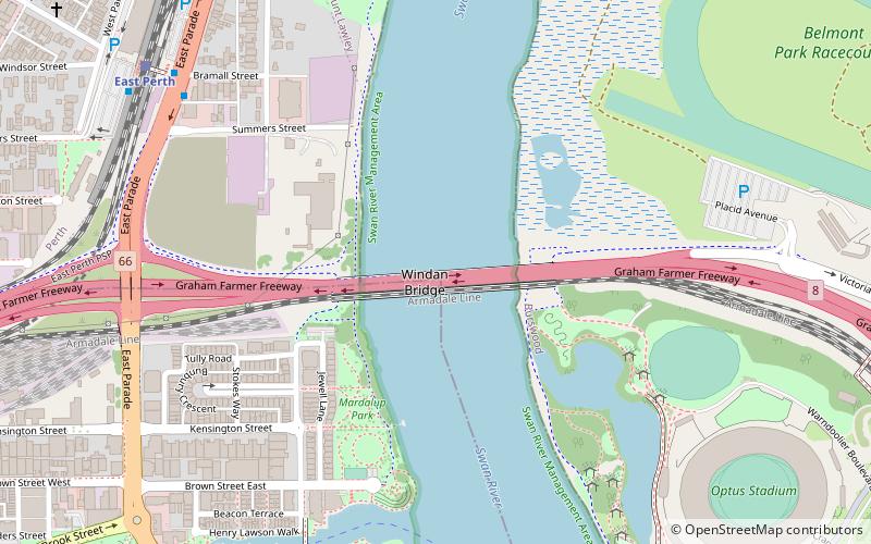
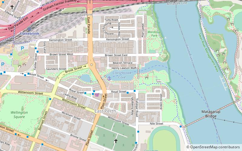
Map
Facts and practical information
The Windan Bridge is a six-lane road bridge in East Perth, Western Australia which crosses the Swan River and forms part of the Graham Farmer Freeway. Opened in 2000, it sits next to the Goongoongup railway bridge which was built in 1995. ()
Coordinates: 31°56'51"S, 115°52'58"E
Address
Perth
ContactAdd
Social media
Add
Day trips
Windan Bridge – popular in the area (distance from the attraction)
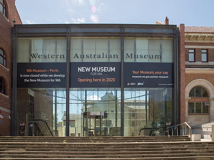
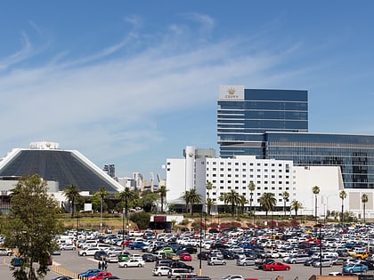
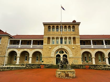
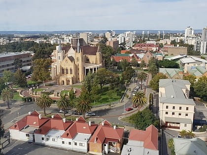
Nearby attractions include: Western Australian Museum, Crown Perth, Perth Mint, St Mary's Cathedral.
Frequently Asked Questions (FAQ)
Which popular attractions are close to Windan Bridge?
Nearby attractions include Goongoongup Bridge, Perth (1 min walk), Claisebrook Cove, Perth (11 min walk), Swan River Pedestrian Bridge, Perth (13 min walk), Claisebrook Road, Perth (15 min walk).
How to get to Windan Bridge by public transport?
The nearest stations to Windan Bridge:
Train
Bus
Train
- East Perth (11 min walk)
- Claisebrook (16 min walk)
Bus
- Victoria Gardens • Lines: 3F, 3T (11 min walk)
- Haig Park Circle • Lines: 3T (12 min walk)
