Queens Gardens, Perth
Map
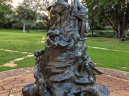
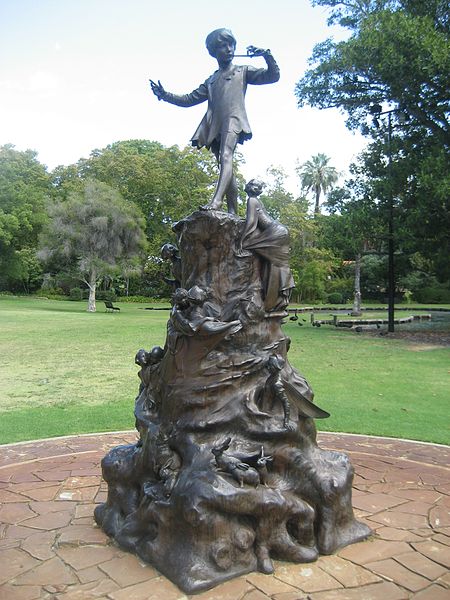
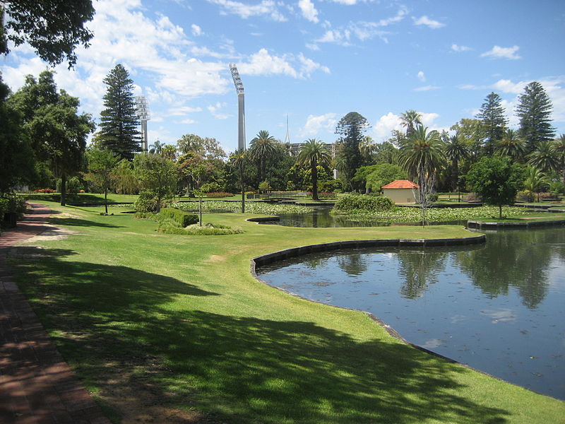
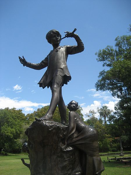
Gallery
Facts and practical information
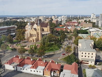
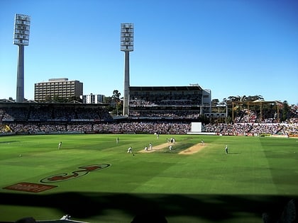
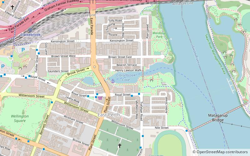
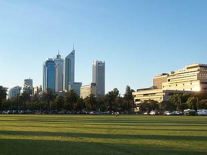
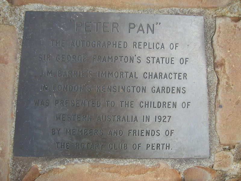
Queens Gardens, Perth, is a 3.3-hectare park on a former brickworks and clay pit site in the eastern end of the Perth central business district. The park is bounded by Hay Street to the south, Plain Street to the west, Nelson Crescent to the north, and Hale Street to the east, which separates it from the WACA Ground. ()
Elevation: 23 ft a.s.l.Coordinates: 31°57'33"S, 115°52'37"E
Day trips
Queens Gardens – popular in the area (distance from the attraction)
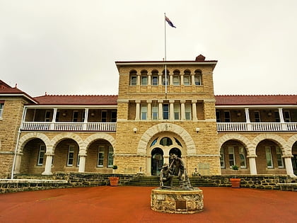
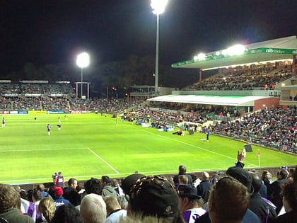
Nearby attractions include: Perth Mint, St Mary's Cathedral, WACA Ground, nib Stadium.
Frequently Asked Questions (FAQ)
Which popular attractions are close to Queens Gardens?
Nearby attractions include Erskine Link, Perth (4 min walk), WACA Ground, Perth (5 min walk), East Perth Cemetery, Perth (7 min walk), Gloucester Park, Perth (9 min walk).
How to get to Queens Gardens by public transport?
The nearest stations to Queens Gardens:
Bus
Train
Ferry
Bus
- Waca • Lines: 2 (2 min walk)
- Don Aitken Centre • Lines: 2, 3F, 3T (3 min walk)
Train
- Claisebrook (19 min walk)
- McIver (21 min walk)
Ferry
- Barrack Street Jetty • Lines: Express (28 min walk)
