Kawaree, Queanbeyan

Map
Facts and practical information
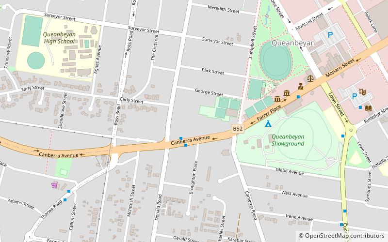
Kawaree is a heritage-listed former residence and parsonage at 3 Tharwa Road, Queanbeyan, Queanbeyan-Palerang Region, New South Wales, Australia. It was built from 1886 to 1889. The property is owned by Mount Warrigal Retirement Village Ltd. It now forms part of the Warrigal Community Village Queanbeyan aged care facility, in which it is used as a community space. It was added to the New South Wales State Heritage Register on 2 April 1999. ()
Coordinates: 35°21'21"S, 149°13'35"E
Address
Queanbeyan
ContactAdd
Social media
Add
Day trips
Kawaree – popular in the area (distance from the attraction)
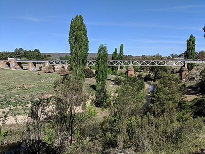
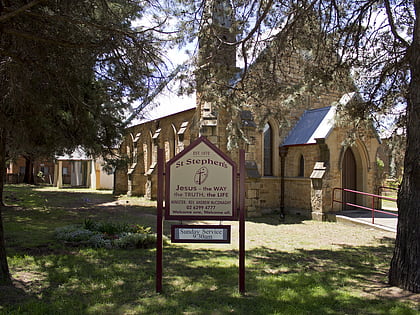
Nearby attractions include: Queanbeyan River, St Stephen's Presbyterian Church and Manse, Queanbeyan Showground, Harris Park Pre-school.
Frequently Asked Questions (FAQ)
Which popular attractions are close to Kawaree?
Nearby attractions include Queanbeyan Printing Museum, Queanbeyan (6 min walk), St Stephen's Presbyterian Church and Manse, Queanbeyan (10 min walk), Harris Park Pre-school, Queanbeyan (11 min walk), Queanbeyan River, Queanbeyan (24 min walk).


