Mount Carbine Tableland, Mount Lewis National Park

Map
Facts and practical information
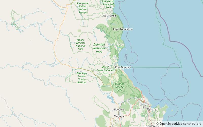
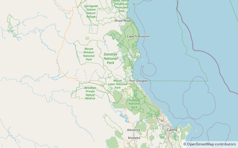
The Mount Carbine Tableland is a plateau in Far North Queensland, Australia. Part of the Great Dividing Range, it lies in the Shire of Mareeba 15 km west of Mossman, and 1,460 km north-west of Brisbane, reaching an altitude of 1,383 m above sea level. It is largely covered with tropical rainforest and receives an annual rainfall total of 2,000 mm. ()
Coordinates: 16°26'45"S, 145°13'54"E
Address
Mount Lewis National Park
ContactAdd
Social media
Add
Day trips
Mount Carbine Tableland – popular in the area (distance from the attraction)
Nearby attractions include: Syndicate.
