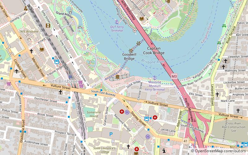
South Brisbane Railway Easement, Brisbane
Map

Map

Facts and practical information
The South Brisbane Railway Easement is the heritage-listed remnants of a former railway branch line and siding at 412 Stanley Street, South Brisbane, Queensland, Australia. It was built from 1882 to 1897. It is also known as Dry Dock Siding, South Brisbane Wharves Extension, and Stanley Street Terminus. It was added to the Queensland Heritage Register on 21 October 1992. ()
Coordinates: 27°28'55"S, 153°1'36"E
Address
South BrisbaneBrisbane
ContactAdd
Social media
Add
Day trips
South Brisbane Railway Easement – popular in the area (distance from the attraction)
Nearby attractions include: South Bank Parklands, City Botanic Gardens, Queensland Maritime Museum, Kangaroo Point Cliffs.
Frequently Asked Questions (FAQ)
Which popular attractions are close to South Brisbane Railway Easement?
Nearby attractions include HMAS Diamantina, Brisbane (1 min walk), Bulwer Island Light, Brisbane (1 min walk), Queensland Maritime Museum, Brisbane (2 min walk), Forceful, Brisbane (2 min walk).
How to get to South Brisbane Railway Easement by public transport?
The nearest stations to South Brisbane Railway Easement:
Ferry
Bus
Train
Ferry
- Maritime Museum Ferry Terminal • Lines: Chop-400 (4 min walk)
- QUT Ferry Terminal • Lines: Uqsl-1410 (7 min walk)
Bus
- Mater Hill station, platform 1 • Lines: 100, 204, 61 (6 min walk)
- Mater Hill (6 min walk)
Train
- South Bank (6 min walk)
- Park Road (22 min walk)


