Oatley Pleasure Grounds, Sydney
Map

Map

Facts and practical information
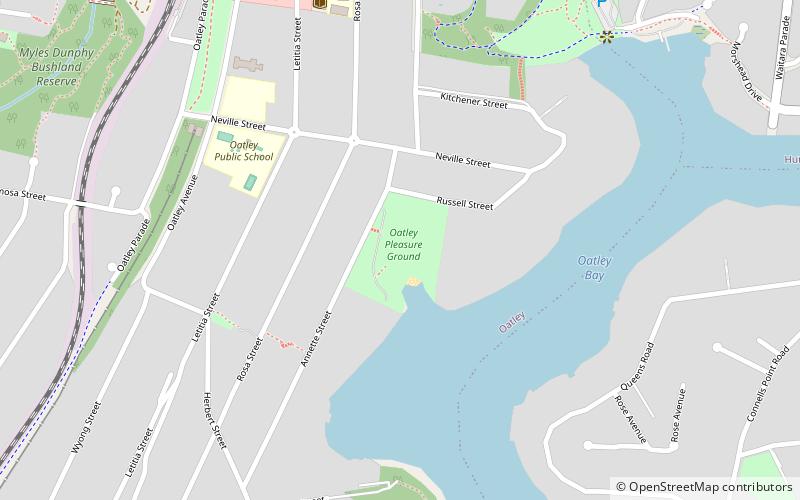
Oatley Pleasure Grounds is a bush park located in Oatley, New South Wales. The whole park is 3.4 hectares. ()
Elevation: 82 ft a.s.l.Coordinates: 33°59'11"S, 151°5'1"E
Address
Hurstville (Oatley)Sydney
ContactAdd
Social media
Add
Day trips
Oatley Pleasure Grounds – popular in the area (distance from the attraction)
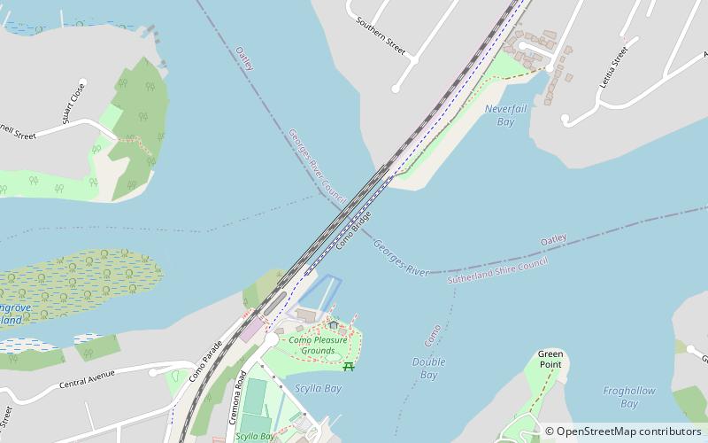
Nearby attractions include: Green Point Observatory, Moore Reserve, Mortdale Memorial Park, Como railway bridge.
Frequently Asked Questions (FAQ)
Which popular attractions are close to Oatley Pleasure Grounds?
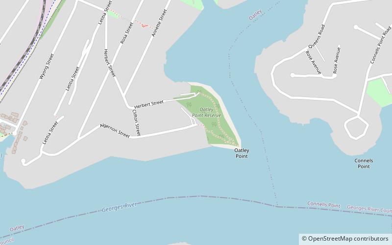
Nearby attractions include Oatley Point Reserve, Sydney (10 min walk), Moore Reserve, Sydney (13 min walk), Caravan Head Bushland Reserve, Sydney (22 min walk), Tom Uglys Bridge, Sydney (24 min walk).
How to get to Oatley Pleasure Grounds by public transport?
The nearest stations to Oatley Pleasure Grounds:
Train
Train
- Oatley (13 min walk)
- Mortdale (28 min walk)

 Sydney Trains
 Sydney Light Rail
 Sydney Ferries


