Como railway bridge, Sydney
Map

Map

Facts and practical information
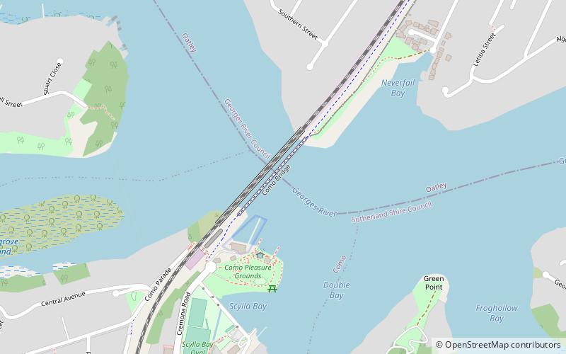
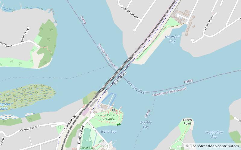
The Como railway bridge carries the Illawarra railway line across the Georges River between the Sydney suburbs of Oatley and Como. ()
Opened: 25 December 1885 (140 years ago)Length: 954 ftCoordinates: 33°59'43"S, 151°4'16"E
Day trips
Como railway bridge – popular in the area (distance from the attraction)
Nearby attractions include: Oatley Park, Green Point Observatory, Moore Reserve, Oatley Pleasure Grounds.
Frequently Asked Questions (FAQ)
Which popular attractions are close to Como railway bridge?
Nearby attractions include Old Como railway bridge, Sydney (1 min walk), Como Marina, Sydney (4 min walk), Tom Uglys Bridge, Sydney (12 min walk), Green Point Observatory, Sydney (13 min walk).
How to get to Como railway bridge by public transport?
The nearest stations to Como railway bridge:
Train
Train
- Como (17 min walk)
- Oatley (29 min walk)

 Sydney Trains
 Sydney Light Rail
 Sydney Ferries


