Preston City Oval, Melbourne
Map

Map

Facts and practical information
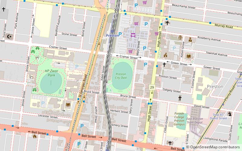
The Preston City Oval is an Australian rules football stadium in Cramer Street in Preston, Victoria, a suburb of Melbourne. It has a main grandstand and the ground is capable of holding around 5,000 spectators. ()
Elevation: 217 ft a.s.l.Coordinates: 37°44'28"S, 145°0'4"E
Address
Darebin (Preston)Melbourne
ContactAdd
Social media
Add
Day trips
Preston City Oval – popular in the area (distance from the attraction)
Nearby attractions include: Islamic Museum of Australia, Preston Mosque, Macedonian Evangelical United Church, Coburg Cemetery.
Frequently Asked Questions (FAQ)
How to get to Preston City Oval by public transport?
The nearest stations to Preston City Oval:
Bus
Train
Tram
Bus
- Gower Street/High Street • Lines: 552, 553 (4 min walk)
- Bruce Street/High Street • Lines: 552, 553 (4 min walk)
Train
- Preston (5 min walk)
- Bell (8 min walk)
Tram
- Stop 47: David Street • Lines: 86, 86d (11 min walk)
- Stop 45: Bell Street • Lines: 86, 86d (11 min walk)

 Melbourne Trams
 Victoria Trains


