Preston Mosque, Melbourne
Map

Map

Facts and practical information
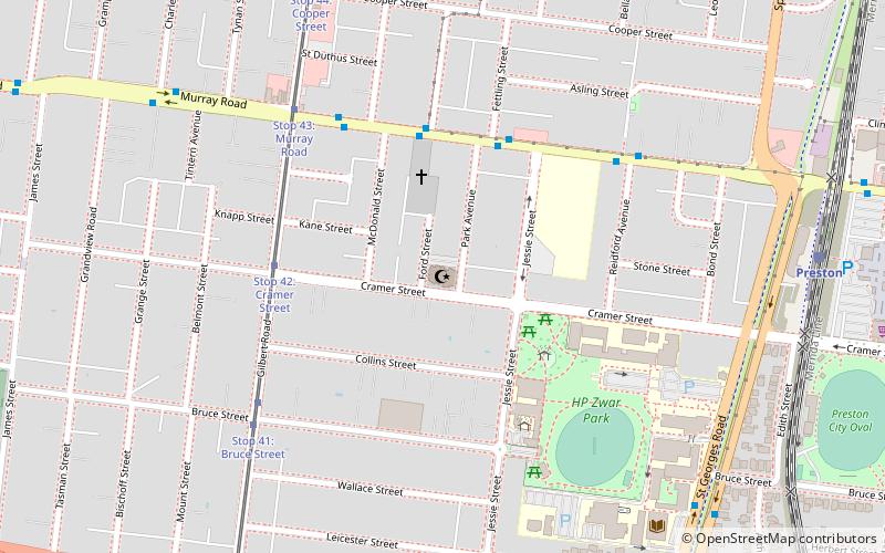
The Preston Mosque, officially the Umar bin Al-Khattab Mosque, is a Sunni Islam mosque located in Preston, a suburb of Melbourne, in Victoria, Australia. ()
Coordinates: 37°44'21"S, 144°59'36"E
Address
Darebin (Preston)Melbourne
ContactAdd
Social media
Add
Day trips
Preston Mosque – popular in the area (distance from the attraction)
Nearby attractions include: Northland Shopping Centre, Northcote Shopping Plaza, Gravity Worx, St Nikola Macedonian Orthodox Church.
Frequently Asked Questions (FAQ)
Which popular attractions are close to Preston Mosque?
Nearby attractions include Preston City Oval, Melbourne (12 min walk), Coburg Cemetery, Melbourne (18 min walk).
How to get to Preston Mosque by public transport?
The nearest stations to Preston Mosque:
Tram
Bus
Train
Tram
- Stop 42: Cramer Street • Lines: 11, 11d (5 min walk)
- Stop 43: Murray Road • Lines: 11, 11d (6 min walk)
Bus
- Gilbert Road • Lines: 527 (6 min walk)
- NMIT Preston Campus • Lines: Bus 903 (10 min walk)
Train
- Preston (11 min walk)
- Bell (15 min walk)

 Melbourne Trams
 Victoria Trains


