Winthrop Avenue, Perth
Map
Map

Facts and practical information
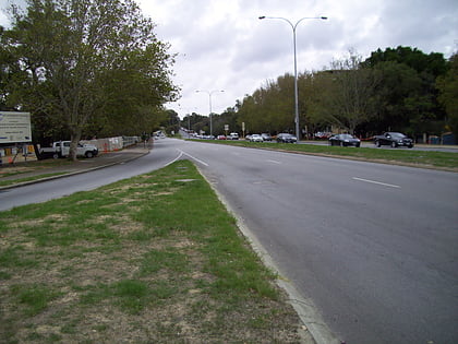
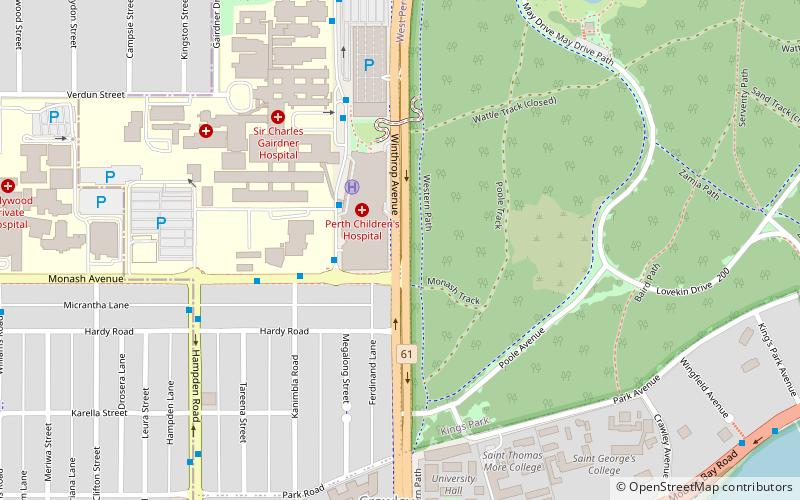
Winthrop Avenue is a major north–south road in the Perth suburbs of Nedlands and Crawley. For most of its length, the road travels alongside the south-western edge of Kings Park, connecting Thomas Street with Stirling Highway, Mounts Bay Road, and the University of Western Australia's Crawley campus. It is the southernmost section of State Route 61, which links Crawley with West Perth and Yokine. ()
Coordinates: 31°58'12"S, 115°49'4"E
Address
Perth
ContactAdd
Social media
Add
Day trips
Winthrop Avenue – popular in the area (distance from the attraction)
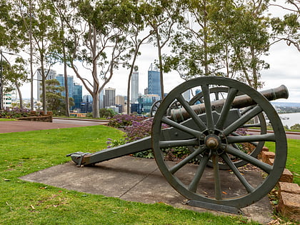
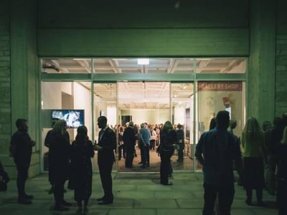
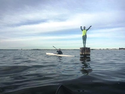
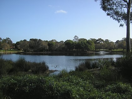
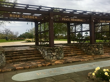
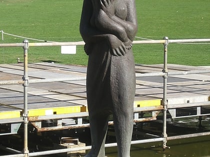
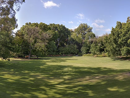
Nearby attractions include: Kings Park, Lawrence Wilson Art Gallery, Eliza Sculpture, Jualbup Lake.
Frequently Asked Questions (FAQ)
Which popular attractions are close to Winthrop Avenue?
Nearby attractions include Somerville Auditorium UWA, Perth (13 min walk), Lawrence Wilson Art Gallery, Perth (14 min walk), International Centre for Radio Astronomy Research, Perth (14 min walk), Reid Library, Perth (16 min walk).
How to get to Winthrop Avenue by public transport?
The nearest stations to Winthrop Avenue:
Bus
Train
Bus
- Hospital Avenue after Monash Avenue • Lines: 96, 97 (3 min walk)
- Monash Avenue after Kanimbla Road • Lines: 96, 97 (5 min walk)
Train
- Shenton Park (27 min walk)
