North Terrace, Adelaide
Map
Gallery
Facts and practical information
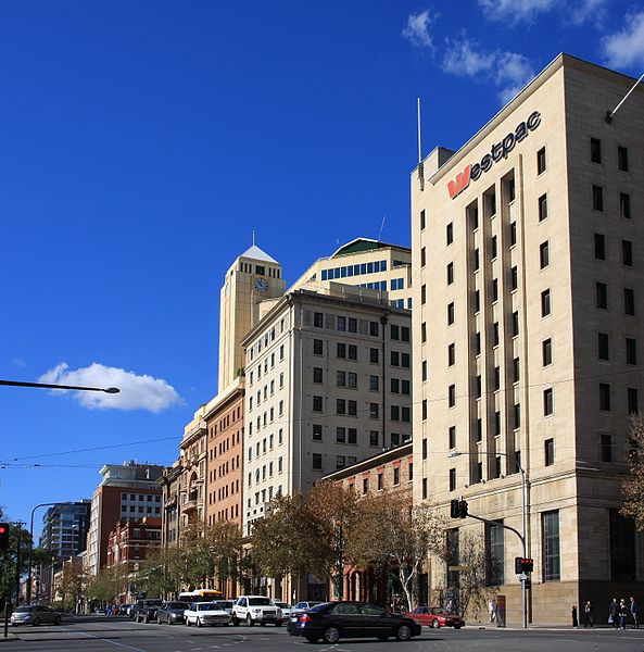
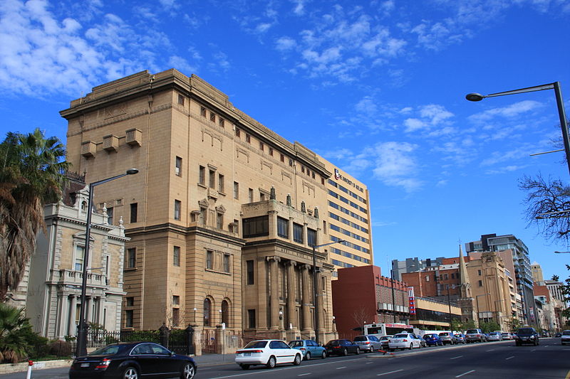
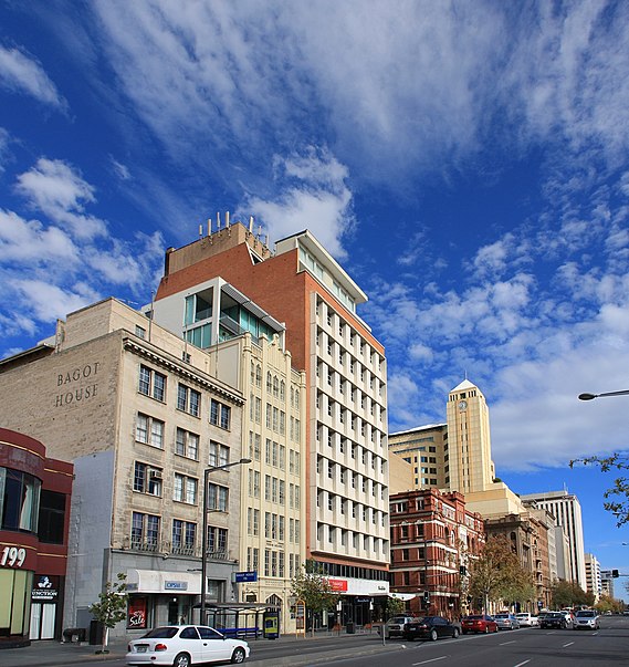
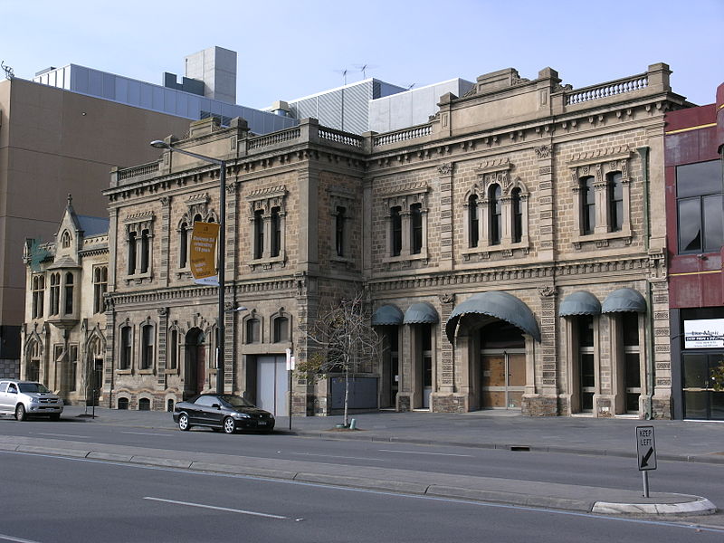
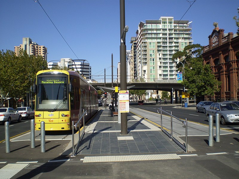
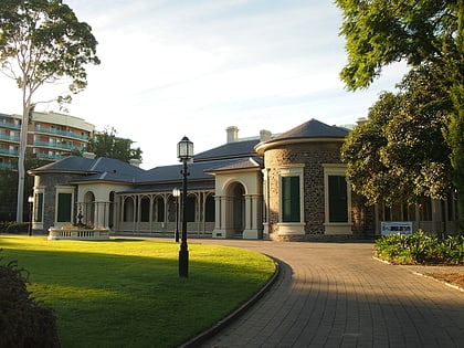
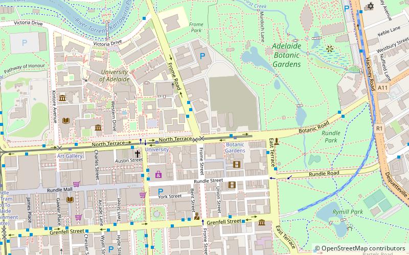
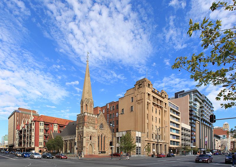
North Terrace is one of the four terraces that bound the central business and residential district of Adelaide, the capital city of South Australia. It runs east–west, along the northern edge of "the square mile". The western end continues on to Port Road, and the eastern end continues across the Adelaide Parklands as Botanic Road. ()
Coordinates: 34°55'16"S, 138°36'22"E
Address
Adelaide (Adelaide City Centre)Adelaide
ContactAdd
Social media
Add
Day trips
North Terrace – popular in the area (distance from the attraction)
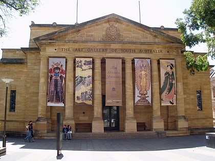
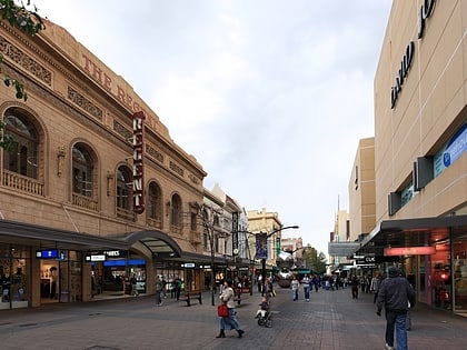
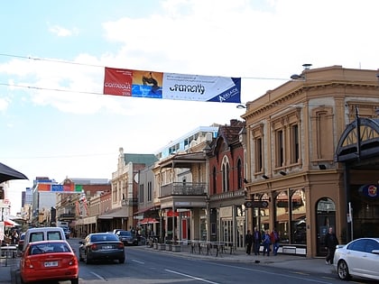
Nearby attractions include: Art Gallery of South Australia, Rundle Mall, Rundle Street, Adelaide Central Plaza.
Frequently Asked Questions (FAQ)
Which popular attractions are close to North Terrace?
Nearby attractions include Museum of Classical Archaeology, Adelaide (2 min walk), Scots Church, Adelaide (2 min walk), Frome Street, Adelaide (3 min walk), Rundle Street, Adelaide (3 min walk).
How to get to North Terrace by public transport?
The nearest stations to North Terrace:
Tram
Bus
Train
Tram
- University (1 min walk)
- Botanic Gardens (5 min walk)
Bus
- Stop A3 King William Road - East side • Lines: 253X (10 min walk)
- Stop B1 King William Street - East side • Lines: 719, 720, 720H, 721 (10 min walk)
Train
- Adelaide (14 min walk)


