Waterview, Bundaberg
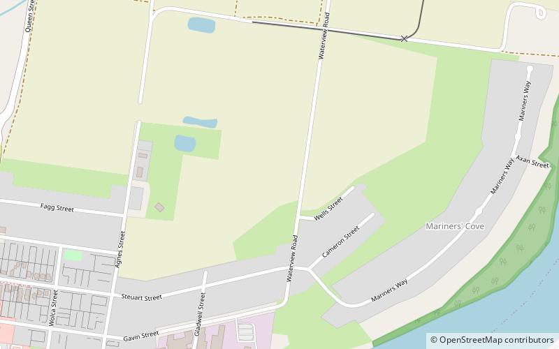
Map
Facts and practical information
Waterview is a neighbourhood in Bundaberg North, Bundaberg, Queensland, Australia on the north bank of the Burnett River. ()
Coordinates: 24°51'18"S, 152°21'14"E
Address
Bundaberg
ContactAdd
Social media
Add
Getting there by public transportation
Public transportation stops near this location
- Bus
- Train
 Bus
Bus
- Calculate routeWoongarra Street Stop 1 21 min walk
- Calculate routeBundaberg Coach Station 25 min walk
- Calculate routeBundaberg 28 min walk
- Calculate routeBundaberg North Ralway Station 30 min walk
Day trips


Frequently Asked Questions (FAQ)
Which popular attractions are close to Waterview?
Nearby attractions include Saltwater Creek Railway Bridge, Bundaberg (15 min walk), Kennedy Bridge, Bundaberg (17 min walk), Burnett Bridge, Bundaberg (19 min walk), Bundaberg North, Bundaberg (20 min walk).
How to get to Waterview by public transport?
The nearest stations to Waterview:
Bus
Train
Bus
- Woongarra Street Stop 1 • Lines: 1 (21 min walk)
- Bundaberg Coach Station (25 min walk)
Train
- Bundaberg (28 min walk)
- Bundaberg North Ralway Station (30 min walk)