Coal River Precinct, Newcastle

Facts and practical information
Nestled in the heart of Newcastle, Australia, the Coal River Precinct stands as a testament to the city's rich heritage and its historical significance in the development of the region. As a beacon of heritage preservation in Australia, this area is a mosaic of cultural and historical landmarks that tell the story of Newcastle's past, particularly its early coal mining endeavors, which gave the precinct its name.
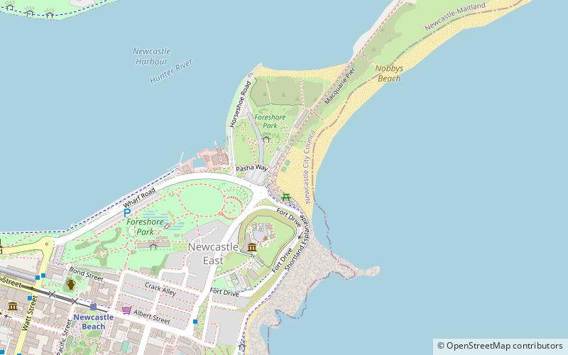
The Coal River Precinct is a treasure trove for historians and visitors alike, offering a glimpse into the early European settlement and the birth of the coal industry in Australia. The precinct includes several notable sites such as the Convict Lumber Yard, which provides insight into the lives of convicts who were integral to the construction and development of the city in the 19th century. The area also features the Fort Scratchley Historic Site, a former coastal defense installation that commands panoramic views of the coastline and the city.
Heritage buildings within the precinct have been meticulously preserved, showcasing architectural styles from various periods and reflecting the economic and social evolution of Newcastle. The precinct's dedication to conservation has ensured that these structures remain as enduring symbols of the city's historical narrative.
The Coal River Precinct is not just a static historical exhibit; it is a dynamic part of Newcastle's urban fabric. Educational programs, guided tours, and ongoing archaeological research continue to enrich the understanding of the area's past. The precinct also plays host to cultural events and celebrations that breathe new life into the historical spaces, connecting the community with its heritage.
Newcastle
- Bus
- Light rail
- Ferry
 Bus
Bus
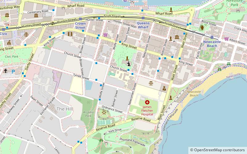
- Calculate routeNewcastle Beach 11 min walk
- Calculate routeQueens Wharf 17 min walk
- Calculate routeCrown Street 23 min walk
- Calculate routeCivic 31 min walk
- Calculate routeCustoms House, Watt Street 12 min walk
- Calculate routeWatt St opp Customs House 12 min walk
- Calculate routeKing St at Bolton St 16 min walk
- Calculate routeNewcastle Wharf 18 min walk


Frequently Asked Questions (FAQ)
Which popular attractions are close to Coal River Precinct?
How to get to Coal River Precinct by public transport?
Light rail
- Newcastle Beach • Lines: L (11 min walk)
- Queens Wharf • Lines: L (17 min walk)
Bus
- Customs House, Watt Street • Lines: 11, 13, 14 (12 min walk)
- Watt St opp Customs House • Lines: 11, 13, 14 (12 min walk)
Ferry
- Newcastle Wharf • Lines: Newcastle - Stockton Ferry (18 min walk)