Woollahra Reservoir, Sydney
Map
Facts and practical information
The Woollahra Reservoir or WS022 is a heritage-listed reservoir at 5R Oxford Street, Centennial Park, City of Randwick, New South Wales, Australia. It was designed and built by the NSW Public Works Department. The property is owned by Sydney Water, an agency of the Government of New South Wales. It was added to the New South Wales State Heritage Register on 18 November 1999. ()
Coordinates: 33°53'25"S, 151°14'28"E
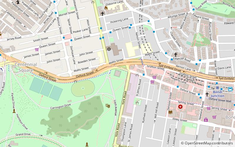
Address
Eastern Suburbs (Centennial Park)Sydney
ContactAdd
Social media
Add
Getting there by public transportation
Public transportation stops near this location
- Bus
- Light rail
- Train
 Bus
Bus
- Calculate routeStand L Bondi Junction Interchange 11 min walk
- Calculate routeBondi Junction Station, Grafton St, Stand Q 11 min walk
- Calculate routeBondi Junction 11 min walk
- Calculate routeBondi Junction 12 min walk
- Calculate routeEdgecliff 21 min walk
- Calculate routeKings Cross 39 min walk
- Calculate routeMoore Park 29 min walk
- Calculate routeRoyal Randwick 32 min walk
- Calculate routeES Marks 38 min walk
Maps Sydney TrainsMaps
 Sydney Light RailMaps
 Sydney Ferries
Sydney TrainsMapsSydney Light RailMapsSydney FerriesDay trips


Frequently Asked Questions (FAQ)
Which popular attractions are close to Woollahra Reservoir?
Nearby attractions include Emanuel Synagogue, Sydney (3 min walk), Waimea House, Sydney (4 min walk), Centennial Park Reservoir, Sydney (5 min walk), Syd Einfeld Drive, Sydney (10 min walk).
How to get to Woollahra Reservoir by public transport?
The nearest stations to Woollahra Reservoir:
Bus
Train
Light rail
Bus
- Stand L Bondi Junction Interchange • Lines: 418 (11 min walk)
- Bondi Junction Station, Grafton St, Stand Q • Lines: 379 (11 min walk)
Train
- Bondi Junction (12 min walk)
- Edgecliff (21 min walk)
Light rail
- Moore Park • Lines: L2, L3 (29 min walk)
- Royal Randwick • Lines: L2 (32 min walk)