Arthur Land District, South West National Park

Map
Facts and practical information
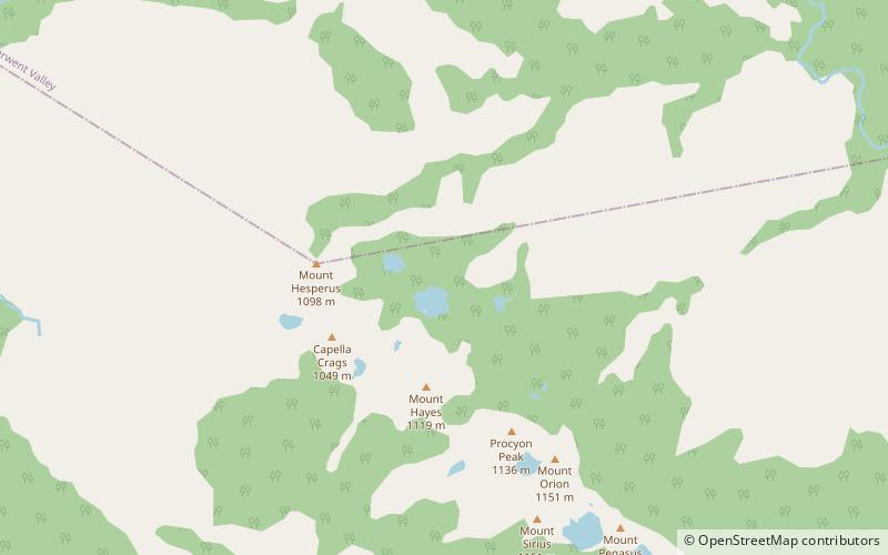
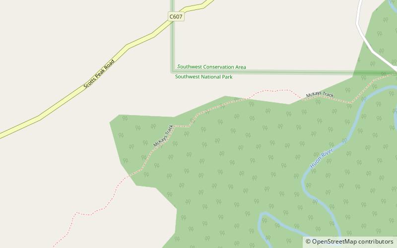
Arthur Land District is one of the twenty land districts of Tasmania which are part of the Cadastral divisions of Tasmania. It was formerly one of the 18 counties of Tasmania. It is bordered by the Gordon River to the north-west, the Huon River to the north-east, and the Picton River to the east. It includes the Arthur Range. ()
Coordinates: 43°7'12"S, 146°15'0"E
Address
South West National Park
ContactAdd
Social media
Add
Day trips
Arthur Land District – popular in the area (distance from the attraction)
Nearby attractions include: Port Davey Track.
