National Art School, Sydney
Map

Map

Facts and practical information
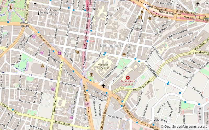
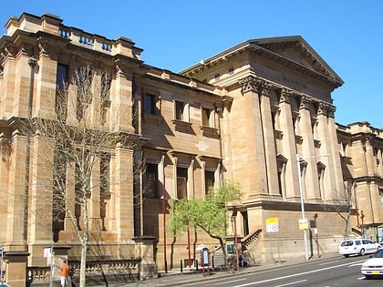
The National Art School is a tertiary level art school, located in Darlinghurst, an inner-city suburb of Sydney, New South Wales, Australia. The school is an independent accredited higher education provider offering specialised study in studio arts practice across various disciplines. ()
Coordinates: 33°52'47"S, 151°13'7"E
Address
Eastern Suburbs (Darlinghurst)Sydney
Contact
+61 2 9339 8744
Social media
Add
Day trips
National Art School – popular in the area (distance from the attraction)
Nearby attractions include: Australian Museum, Emden Gun, Kings Cross Hotel, Australian Hall.
Frequently Asked Questions (FAQ)
Which popular attractions are close to National Art School?
Nearby attractions include Darlinghurst Gaol, Sydney (1 min walk), Sydney Gay and Lesbian Holocaust Memorial, Sydney (3 min walk), Sydney Jewish Museum, Sydney (3 min walk), St John's Anglican Church, Sydney (3 min walk).
How to get to National Art School by public transport?
The nearest stations to National Art School:
Train
Bus
Light rail
Ferry
Train
- Kings Cross (11 min walk)
- Museum (15 min walk)
Bus
- Kellett Street • Lines: 200 (11 min walk)
- Domain Terminus (13 min walk)
Light rail
- Surry Hills • Lines: L2, L3 (18 min walk)
- Central Chalmers Street • Lines: L2, L3 (18 min walk)
Ferry
- Pyrmont Bay Wharf • Lines: F4, Ferry (36 min walk)
- Darling Harbour Wharf 1 (36 min walk)

 Sydney Trains
 Sydney Light Rail
 Sydney Ferries


