Jack Watkins Memorial Reserve, Adelaide
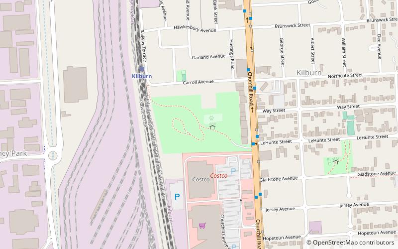
Map
Facts and practical information
Jack Watkins Reserve is a park in the Australian state of South Australia situated adjacent to the Islington Railway Workshops in the suburb of Kilburn within the local government area of City of Port Adelaide Enfield. The park was named after Jack Watkins, a union organiser and former president of The Asbestos Diseases Society of South Australia who successfully lobbied to remove asbestos and other toxic contaminants from the railway site and adjacent properties. The park was opened in late August 2003 as a tribute to the large number of former railway workers who succumbed to asbestos-related diseases while working at the yard. ()
Elevation: 36 ft a.s.l.Coordinates: 34°51'42"S, 138°34'51"E
Address
KilburnAdelaide
ContactAdd
Social media
Add
Getting there by public transportation
Public transportation stops near this location
- Bus
- Train
 Bus
Bus
- Calculate routeKilburn 5 min walk
- Calculate routeIslington Workshops 14 min walk
- Calculate routeIslington 25 min walk
- Calculate routeStop 21 Main North Road - West side 30 min walk
- Calculate routeStop 22 Main North Road - West side 30 min walk
- Calculate routeStop 20 Main North Road - West side 30 min walk
- Calculate routeStop 23 Main North Road - West side 32 min walk
Day trips


Frequently Asked Questions (FAQ)
How to get to Jack Watkins Memorial Reserve by public transport?
The nearest stations to Jack Watkins Memorial Reserve:
Train
Bus
Train
- Kilburn (5 min walk)
- Islington Workshops (14 min walk)
Bus
- Stop 21 Main North Road - West side • Lines: 224, 224F (30 min walk)
- Stop 22 Main North Road - West side • Lines: 224, 224F (30 min walk)