Koonung Creek Trail, Melbourne

Gallery (1)
Map
Map
Facts and practical information
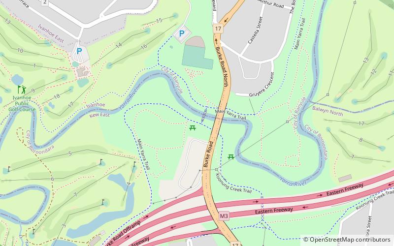
The Koonung Creek Trail is a shared use path for cyclists and pedestrians, which follows Koonung Creek in the eastern suburbs of Melbourne, Victoria, Australia. The trail also follows the course of the Eastern Freeway as it too, follows the course of the Koonung Creek, and has good connections to on-road paths. ()
Coordinates: 37°46'54"S, 145°3'44"E
Address
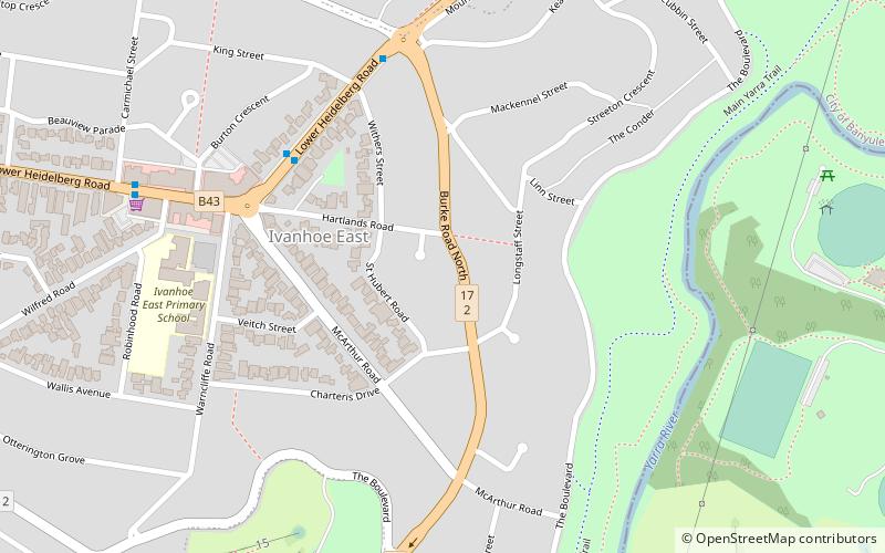
Boroondara (Kew East)Melbourne
ContactAdd
Social media
Add
Getting there by public transportation
Public transportation stops near this location
- Bus
- Tram
- Train
 Bus
Bus
- Calculate routeBurke Road 21 min walk
- Calculate routeWattle Avenue 21 min walk
- Calculate routeCorhampton Road 22 min walk
- Calculate routeMacedon Avenue 25 min walk
- Calculate routeStop 45: Burke Road 21 min walk
- Calculate routeStop 44: Burke Road 21 min walk
- Calculate routeStop 46: Wattle Avenue 22 min walk
- Calculate routeStop 47: North Balwyn Shopping Centre 23 min walk
- Calculate routeIvanhoe 33 min walk
Maps Melbourne TramsMaps
 Victoria Trains
Melbourne TramsMapsVictoria TrainsDay trips


Frequently Asked Questions (FAQ)
Which popular attractions are close to Koonung Creek Trail?
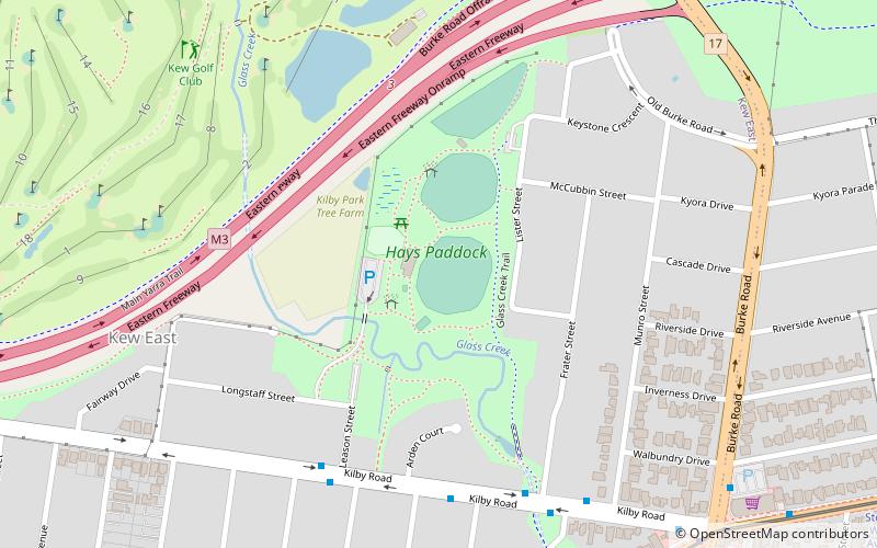
Nearby attractions include Charterisville, Melbourne (14 min walk), Hays Paddock, Melbourne (15 min walk).
How to get to Koonung Creek Trail by public transport?
The nearest stations to Koonung Creek Trail:
Bus
Tram
Train
Bus
- Burke Road • Lines: 200, 207 (21 min walk)
- Wattle Avenue • Lines: 200, 207 (21 min walk)
Tram
- Stop 45: Burke Road • Lines: 48 (21 min walk)
- Stop 44: Burke Road • Lines: 48, 48d (21 min walk)
Train
- Ivanhoe (33 min walk)