Hays Paddock, Melbourne

Map
Facts and practical information
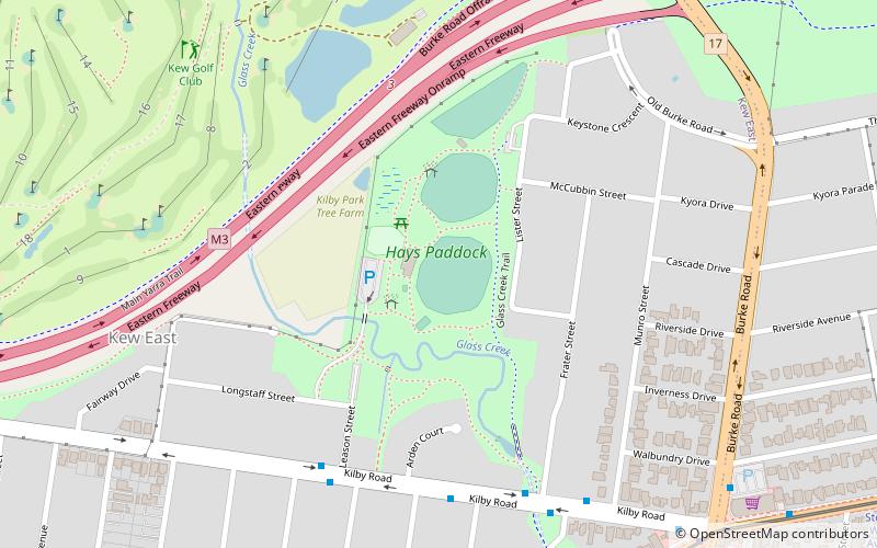
Hays Paddock is a popular Australian recreational park in the eastern Melbourne suburb of Kew East. Managed by City of Boroondara council, the park consists of a popular playground, walking & cycling tracks, and two ovals for teams playing Archery, Cricket, and Soccer. The park is also sometimes referred to as 'Kilby Park' due to its proximity to Kilby Road, and 'Glass Creek' due to the creek of the same name that passes through. ()
Elevation: 62 ft a.s.l.Coordinates: 37°47'22"S, 145°3'31"E
Address
Boroondara (Kew East)Melbourne
ContactAdd
Social media
Add
Day trips
Hays Paddock – popular in the area (distance from the attraction)
Nearby attractions include: Springthorpe Memorial, Kew, Macleay Park, Boroondara General Cemetery.
Frequently Asked Questions (FAQ)
How to get to Hays Paddock by public transport?
The nearest stations to Hays Paddock:
Tram
Bus
Train
Tram
- Stop 43: Kew High School • Lines: 48, 48d (10 min walk)
- Stop 44: Burke Road • Lines: 48, 48d (11 min walk)
Bus
- Burke Road • Lines: 200, 207 (11 min walk)
- Wattle Avenue • Lines: 200, 207 (14 min walk)
Train
- Darebin (38 min walk)
 Melbourne Trams
 Victoria Trains


