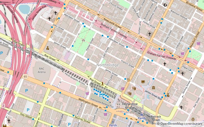
Aberdeen Street, Perth
Map
Facts and practical information
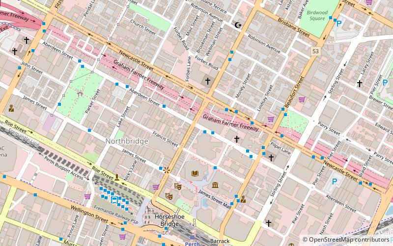
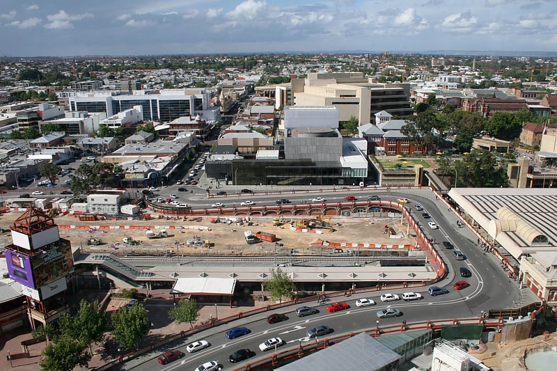
Aberdeen Street is a street in Northbridge, Western Australia that runs from Lord Street in the east to the Mitchell Freeway in the west. The street has 42 locally listed places of significance, 18 of which are also listed on the State Register of Heritage Places. ()
Coordinates: 31°56'50"S, 115°51'38"E
Address
Perth CBDPerth
ContactAdd
Social media
Add
Getting there by public transportation
Public transportation stops near this location
- Bus
- Train
- Ferry
 Bus
Bus
- Calculate routeTafe 1 min walk
- Calculate routeNewcastle Street after Slyth Way 3 min walk
- Calculate routeAberdeen Street 3 min walk
- Calculate routePerth 8 min walk
- Calculate routeMcIver 12 min walk
- Calculate routeClaisebrook 19 min walk
- Calculate routeElizabeth Quay 20 min walk
- Calculate routeElizabeth Quay Ferry Terminal 21 min walk
- Calculate routeBarrack Street Jetty 24 min walk
Day trips


Frequently Asked Questions (FAQ)
Which popular attractions are close to Aberdeen Street?
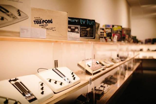
Nearby attractions include The Nostalgia Box, Perth (3 min walk), J S Battye Library, Perth (3 min walk), Alexander Library Building, Perth (4 min walk), State Library of Western Australia, Perth (4 min walk).
How to get to Aberdeen Street by public transport?
The nearest stations to Aberdeen Street:
Bus
Train
Ferry
Bus
- Tafe • Lines: 1 (1 min walk)
- Newcastle Street after Slyth Way • Lines: 60 (3 min walk)
Train
- Perth (8 min walk)
- McIver (12 min walk)
Ferry
- Elizabeth Quay Ferry Terminal • Lines: Transperth Ferry - Elizabeth Qua, Transperth Ferry - Mends Street (21 min walk)
- Barrack Street Jetty • Lines: Express (24 min walk)