Peat Island, Sydney
Map

Map

Facts and practical information
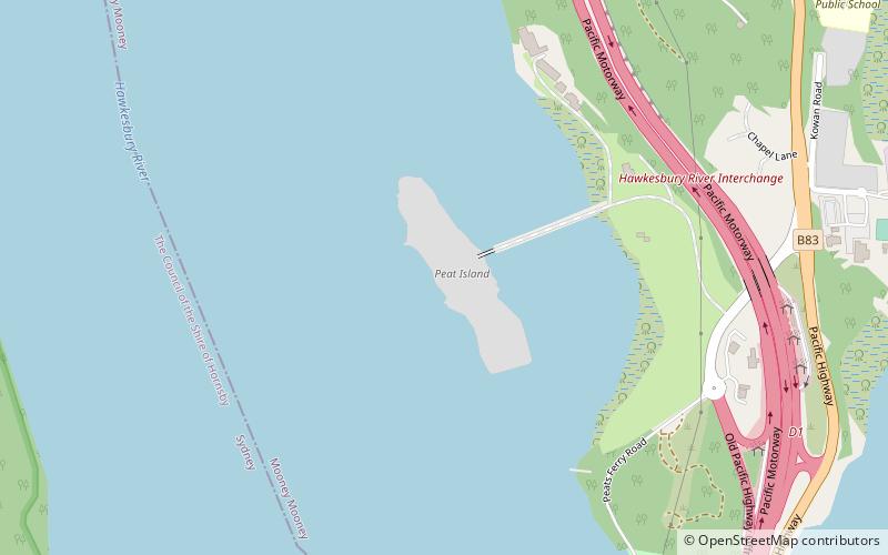
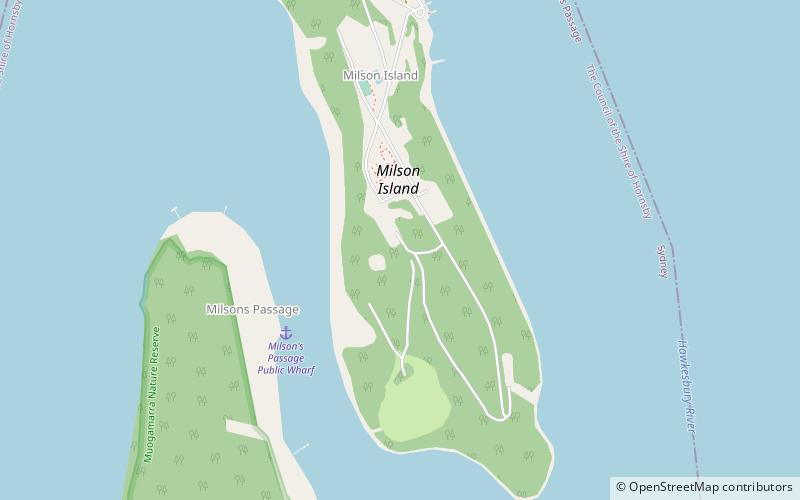
Peat Island is a small island of approximately eight hectares in the Hawkesbury River, just north of Sydney, New South Wales, Australia. It forms part of the suburb called Mooney Mooney, and is located just upstream from the Sydney – Newcastle Freeway bridge. Other islands in the Hawkesbury River include Dangar Island, Spectacle Island, Milson Island, Long Island and Lion Island. ()
Coordinates: 33°31'46"S, 151°11'38"E
Address
Sydney
ContactAdd
Social media
Add
Day trips
Peat Island – popular in the area (distance from the attraction)
Nearby attractions include: Hawkesbury River Railway Bridge, The Kyle and Jackie O Show, Pindar Cave, Peats Ferry Bridge.

 Sydney Trains
 Sydney Light Rail
 Sydney Ferries


