Wardlow, Melbourne
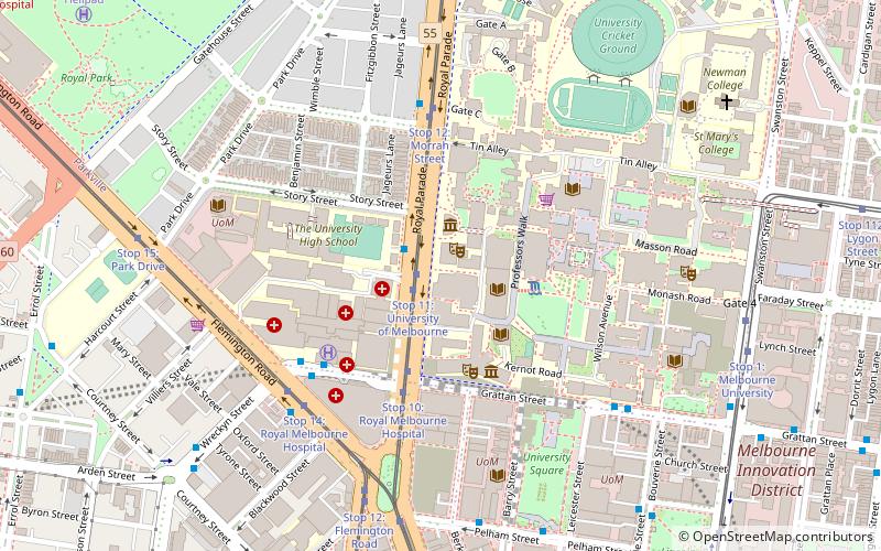
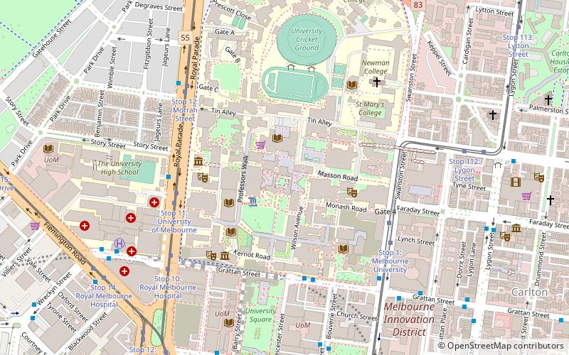
Map
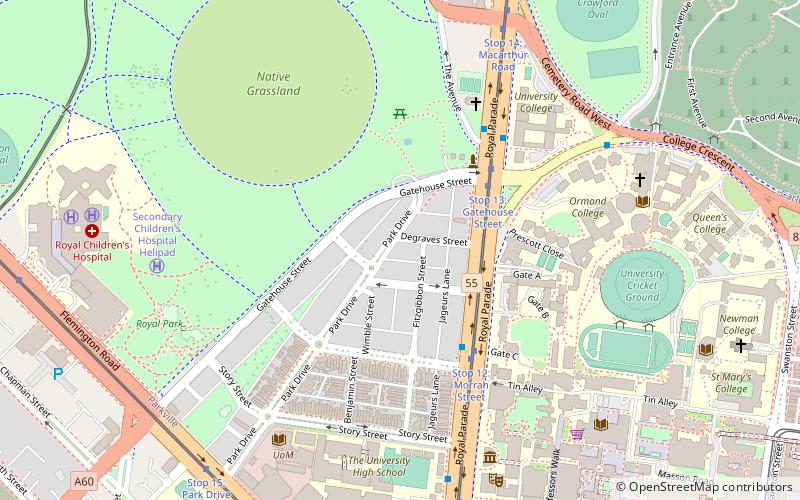
Map

Facts and practical information
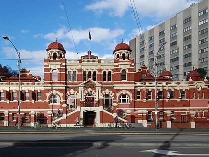
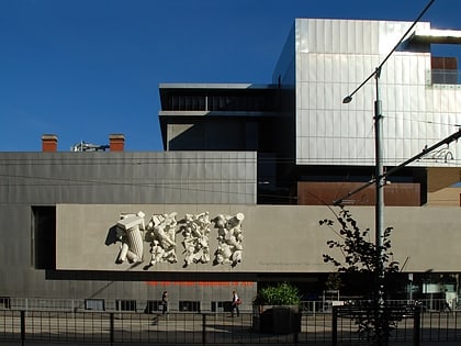
Wardlow is an Australian house of historical significance located in the Melbourne suburb of Parkville. It was built in 1888 by John Boyes and is considered to be a fine example of the boom style Italianate architecture of that time, and is listed by the Victorian National Trust. ()
Architectural style: Renaissance revivalCoordinates: 37°47'38"S, 144°57'23"E
Address
City of Melbourne (Parkville)Melbourne
ContactAdd
Social media
Add
Day trips
Wardlow – popular in the area (distance from the attraction)
Nearby attractions include: Queen Victoria Market, Melbourne Zoo, Swanston Street, Royal Park.
Frequently Asked Questions (FAQ)
Which popular attractions are close to Wardlow?
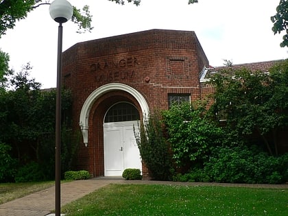
Nearby attractions include MacFarland Library, Melbourne (2 min walk), Trinity College Theological School, Melbourne (5 min walk), Grainger Museum, Melbourne (7 min walk), Melba Hall, Melbourne (8 min walk).
How to get to Wardlow by public transport?
The nearest stations to Wardlow:
Bus
Tram
Train
Bus
- Morrah Street/Royal Parade • Lines: 505 (4 min walk)
- Trinity College/Royal Parade • Lines: 505, 546 (5 min walk)
Tram
- Stop 13: Gatehouse Street • Lines: 19 (4 min walk)
- Stop 12: Morrah Street • Lines: 19 (4 min walk)
Train
- Royal Park (23 min walk)
- Flemington Bridge (26 min walk)

 Melbourne Trams
 Victoria Trains