Upfield Bike Path, Melbourne
Map

Map

Facts and practical information
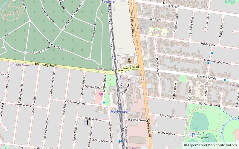
Coordinates: 37°43'9"S, 144°57'41"E
Address
Moreland (Coburg North)Melbourne
ContactAdd
Social media
Add
Day trips
Upfield Bike Path – popular in the area (distance from the attraction)
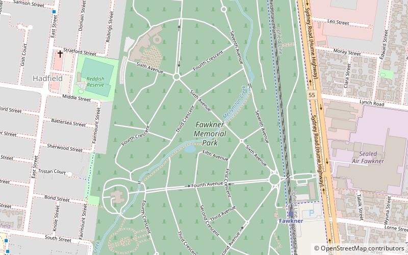
Nearby attractions include: Gravity Worx, Fawkner Crematorium and Memorial Park, Kingsley College, B.T. Connor Reserve.
Frequently Asked Questions (FAQ)
Which popular attractions are close to Upfield Bike Path?
Nearby attractions include Fawkner Crematorium and Memorial Park, Melbourne (15 min walk), Kingsley College, Melbourne (20 min walk).
How to get to Upfield Bike Path by public transport?
The nearest stations to Upfield Bike Path:
Train
Tram
Train
- Merlynston (4 min walk)
- Fawkner (8 min walk)
Tram
- Stop 40: Bakers Road • Lines: 19, 19d (16 min walk)
- Stop 39: Mercy College • Lines: 19, 19d (20 min walk)

 Melbourne Trams
 Victoria Trains


