Kingsley College, Melbourne
Map
Facts and practical information
Kingsley College is a Wesleyan Methodist Church of Australia school of theology located in Melbourne, Australia. The college was opened by Kingsley Ridgway in 1948. It was originally known as the Wesleyan Methodist Bible College of Australia; in 1974 its name was changed to honour its founder. Students come from a variety of denominational and national backgrounds. ()
Coordinates: 37°42'58"S, 144°56'52"E
Address
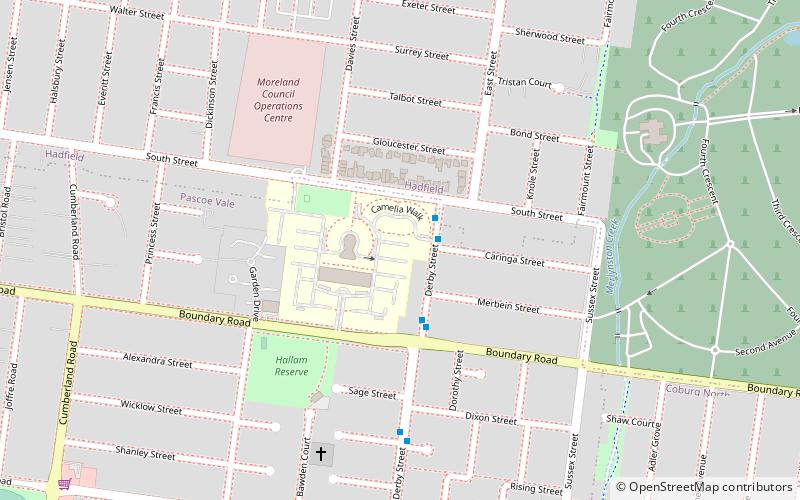
Moreland (Pascoe Vale)Melbourne
ContactAdd
Social media
Add
Getting there by public transportation
Public transportation stops near this location
- Tram
- Train
 Tram
Tram
- Calculate routeFawkner 18 min walk
- Calculate routeMerlynston 21 min walk
- Calculate routeGowrie 32 min walk
- Calculate routePascoe Vale 38 min walk
- Calculate routeStop 40: Bakers Road 30 min walk
- Calculate routeStop 39: Mercy College 34 min walk
- Calculate routeStop 38: Renown Street 36 min walk
Maps Melbourne TramsMaps
 Victoria Trains
Melbourne TramsMapsVictoria TrainsDay trips


Frequently Asked Questions (FAQ)
How to get to Kingsley College by public transport?
The nearest stations to Kingsley College:
Train
Tram
Train
- Fawkner (18 min walk)
- Merlynston (21 min walk)
Tram
- Stop 40: Bakers Road • Lines: 19, 19d (30 min walk)
- Stop 39: Mercy College • Lines: 19, 19d (34 min walk)