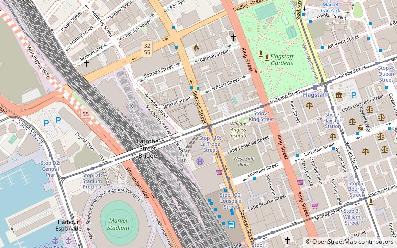
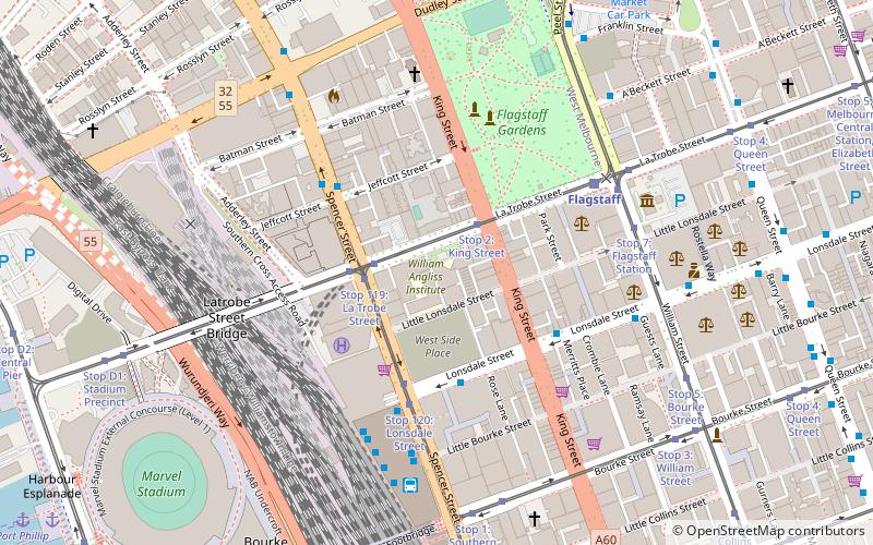
Spencer Street, Melbourne

Gallery (1)
Map
Map
Facts and practical information
Spencer Street is a major street and thoroughfare in the central business district of Melbourne, Victoria. The street was gazetted in 1837 as the westernmost boundary of the Hoddle Grid. ()
Address
City of Melbourne (West Melbourne)Melbourne
ContactAdd
Social media
Add
Getting there by public transportation
Public transportation stops near this location
- Bus
- Tram
- Train
- Ferry
 Bus
Bus
- Calculate routeStop 119: Spencer Street 1 min walk
- Calculate routeStop 119: La Trobe Street 1 min walk
- Calculate routeStop 1: Spencer Street 1 min walk
- Calculate routeStop 2: King Street 4 min walk
- Calculate routeLa Trobe Street 2 min walk
- Calculate routeLonsdale Street/Spencer Street 4 min walk
- Calculate routeSouthern Cross Coach Terminal 6 min walk
- Calculate routeKing Street/Lonsdale Street 7 min walk
- Calculate routeFlagstaff 8 min walk
- Calculate routeSouthern Cross 10 min walk
- Calculate routeNorth Melbourne 16 min walk
- Calculate routeMelbourne Central 17 min walk
- Calculate routePort Phillip Ferries 12 min walk
Maps Melbourne TramsMaps
 Victoria Trains
Melbourne TramsMapsVictoria TrainsDay trips


Frequently Asked Questions (FAQ)
Which popular attractions are close to Spencer Street?
Nearby attractions include William Angliss Institute, Melbourne (3 min walk), Spencer Street Pharmacy, Melbourne (3 min walk), Dudley Street, Melbourne (5 min walk), King Street, Melbourne (5 min walk).
How to get to Spencer Street by public transport?
The nearest stations to Spencer Street:
Tram
Bus
Train
Ferry
Tram
- Stop 119: Spencer Street • Lines: 30, 35, 86, 86d (1 min walk)
- Stop 119: La Trobe Street • Lines: 86, 86a (1 min walk)
Bus
- La Trobe Street • Lines: 216 (2 min walk)
- Lonsdale Street/Spencer Street • Lines: 216 (4 min walk)
Train
- Flagstaff (8 min walk)
- Southern Cross (10 min walk)
Ferry
- Port Phillip Ferries (12 min walk)