Warringah Council, Sydney
Map
Facts and practical information
Warringah Council was a local government area in the northern beaches region of Sydney, in the state of New South Wales, Australia. It was proclaimed on 7 March 1906 as the Warringah Shire Council, and became "Warringah Council" in 1993. In 1992, Pittwater Council was formed when the former A Riding of Warringah Shire voted to secede. From this point on until amalgamation, Warringah Council administered 152 square kilometres of land, including nine beaches and 14 kilometres of coastline. Prior to its abolition it contained 6,000 hectares of natural bushland and open space, with Narrabeen Lagoon marking Warringah's northern boundary and Manly Lagoon marking the southern boundary. ()
Public Transportation
Maps Sydney TrainsMaps
 Sydney Light RailMaps
 Sydney Ferries
Sydney TrainsMapsSydney Light RailMapsSydney FerriesDay trips


Frequently Asked Questions (FAQ)
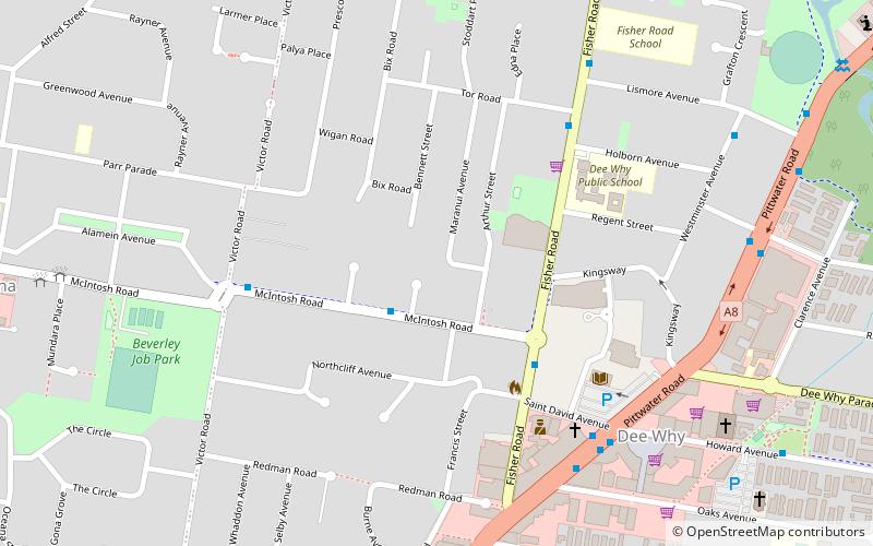
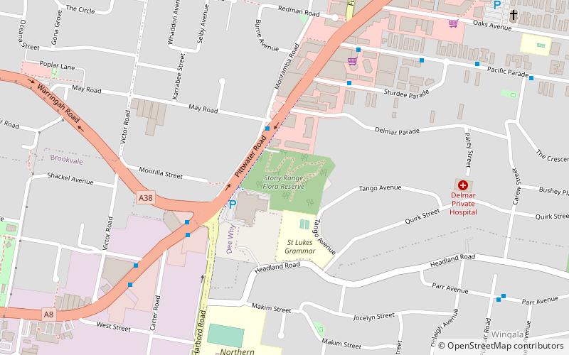
Which popular attractions are close to Warringah Council?
Nearby attractions include Dee Why, Sydney (9 min walk), Cromer Park, Sydney (19 min walk).