Queens Bridge, Melbourne
Map
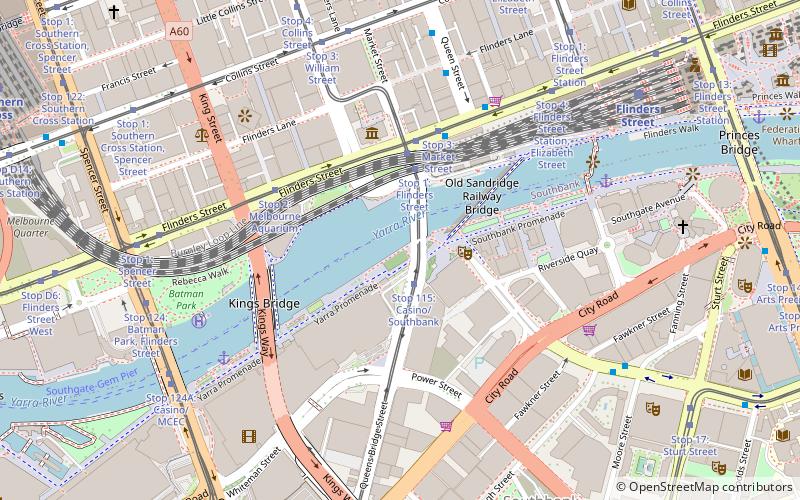
Map

Facts and practical information
The Queen's Bridge is a historic road bridge over the Yarra River in Melbourne, Victoria, Australia. The bridge was built in 1889 and has five wrought iron plate girder spans, and is listed on the Victorian Heritage Register. The bridge was built by contractor David Munro, and replaced a timber footbridge built in 1860. ()
Opened: 1889 (137 years ago)Length: 314 ftWidth: 99 ftCoordinates: 37°49'16"S, 144°57'40"E
Address
Queensbridge stCity of Melbourne (Southbank)Melbourne 3006
ContactAdd
Social media
Add
Day trips
Queens Bridge – popular in the area (distance from the attraction)
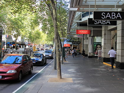
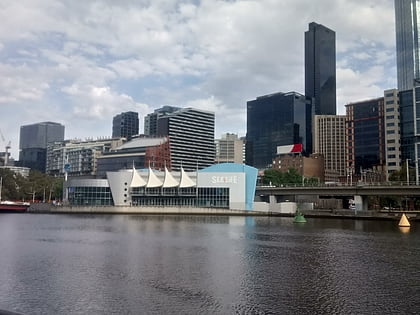
Nearby attractions include: Collins Street, Sea Life Melbourne Aquarium, Block Arcade, Eureka Skydeck 88.
Frequently Asked Questions (FAQ)
Which popular attractions are close to Queens Bridge?
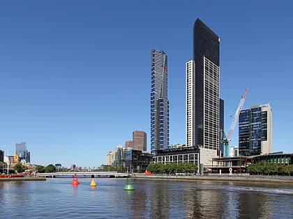
Nearby attractions include One Queensbridge, Melbourne (2 min walk), Sandridge Bridge, Melbourne (2 min walk), Freshwater Place, Melbourne (2 min walk), Immigration Museum, Melbourne (4 min walk).
How to get to Queens Bridge by public transport?
The nearest stations to Queens Bridge:
Bus
Tram
Train
Ferry
Bus
- Casino East/Queens Bridge Street • Lines: 234, 236, 605 (2 min walk)
- Flinders Street/Queens Bridge Street • Lines: 234, 236 (3 min walk)
Tram
- Stop 115: Casino/Southbank • Lines: 58, 58d (2 min walk)
- Stop 1: Flinders Street • Lines: 58, 58d (3 min walk)
Train
- Flinders Street (11 min walk)
- Southern Cross (13 min walk)
Ferry
- Port Phillip Ferries (24 min walk)

 Melbourne Trams
 Victoria Trains