Spencer Street Bridge, Melbourne
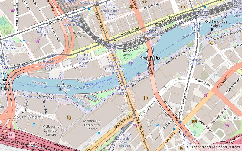
Map

Gallery

Facts and practical information
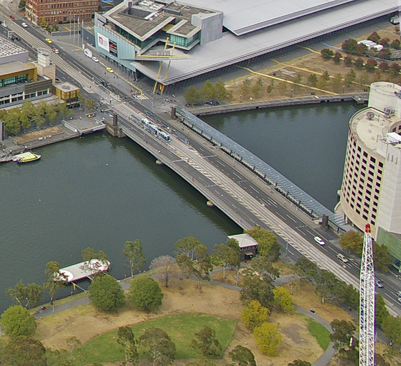
The Spencer Street Bridge is a road and tram bridge over the Yarra River in Melbourne, Australia. It connects Spencer Street on the north bank with Clarendon Street on the south. The idea of a bridge at this point was first put forward in the mid-1800s. ()
Completed: 1930 (96 years ago)Length: 405 ftWidth: 81 ftHeight: 29 ftCoordinates: 37°49'23"S, 144°57'22"E
Address
Spencer StreetCity of Melbourne (Melbourne CBD)Melbourne 3000
ContactAdd
Social media
Add
Day trips
Spencer Street Bridge – popular in the area (distance from the attraction)
Nearby attractions include: Sea Life Melbourne Aquarium, Sandridge Bridge, DFO South Wharf, Crown Melbourne.
Frequently Asked Questions (FAQ)
Which popular attractions are close to Spencer Street Bridge?
Nearby attractions include Batman Park, Melbourne (3 min walk), King Street Bridge, Melbourne (4 min walk), Crown Melbourne, Melbourne (5 min walk), Victoria Police Museum, Melbourne (5 min walk).
How to get to Spencer Street Bridge by public transport?
The nearest stations to Spencer Street Bridge:
Tram
Bus
Train
Ferry
Tram
- Stop 124A: Casino/MCEC • Lines: 109, 109d, 12, 12d, 96, 96d (1 min walk)
- Stop 1: Spencer Street • Lines: 35, 70, 70d, 75 (4 min walk)
Bus
- Southern Cross Station • Lines: 235, 237 (8 min walk)
- City Road/Queens Bridge Street • Lines: 234, 236 (8 min walk)
Train
- Southern Cross (10 min walk)
- Flinders Street (18 min walk)
Ferry
- Port Phillip Ferries (19 min walk)

 Melbourne Trams
 Victoria Trains


