Russell Street, Melbourne
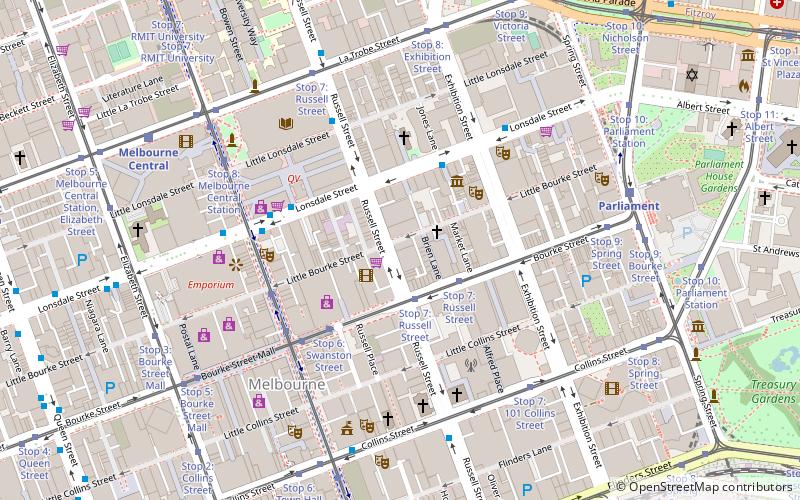
Map
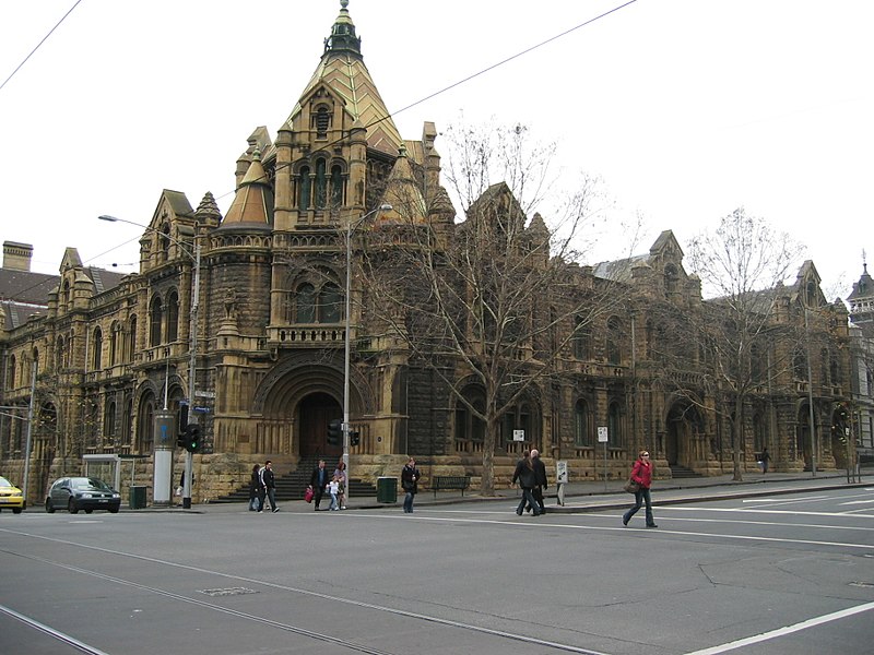
Gallery
Facts and practical information
Russell Street is a main street and thoroughfare in the central business district of Melbourne, Victoria, Australia. It runs roughly north-south and was laid out as a core feature of the Hoddle Grid in 1837. ()
Coordinates: 37°48'43"S, 144°58'5"E
Day trips
Russell Street – popular in the area (distance from the attraction)
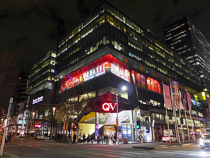
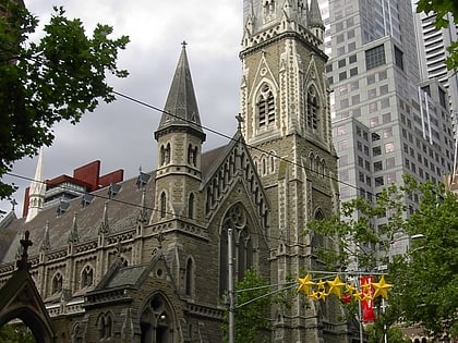
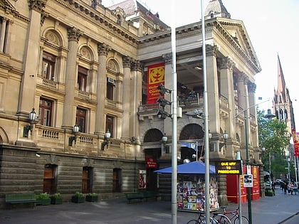
Nearby attractions include: Emporium Melbourne, Queen Victoria Village, Scots' Church, Melbourne Town Hall.
Frequently Asked Questions (FAQ)
Which popular attractions are close to Russell Street?
Nearby attractions include Chinatown, Melbourne (1 min walk), Total House, Melbourne (1 min walk), Chinese Museum, Melbourne (3 min walk), East End Theatre District, Melbourne (3 min walk).
How to get to Russell Street by public transport?
The nearest stations to Russell Street:
Tram
Bus
Train
Tram
- Stop 7: Russell Street • Lines: 86, 86a, 86d, 96, 96d (2 min walk)
- Stop 6: Swanston Street • Lines: 86, 86a, 86d, 96, 96d (4 min walk)
Bus
- Tattersalls Lane/Lonsdale Street • Lines: 303 (4 min walk)
- Exhibition Street/Lonsdale Street • Lines: 250, 251, 303, 350 (4 min walk)
Train
- Parliament (8 min walk)
- Melbourne Central (9 min walk)

 Melbourne Trams
 Victoria Trains
