Simpson Falls, Brisbane
Map

Map

Facts and practical information
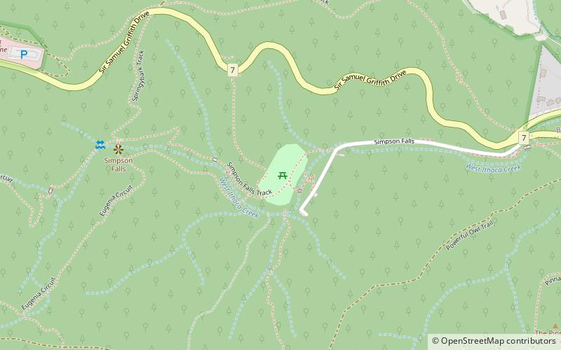
The Simpson Falls, a cascade waterfall on the West Ithaca Creek, is located within the Mount Coot-tha Forest, in Brisbane, Queensland, Australia. ()
Coordinates: 27°27'60"S, 152°57'29"E
Address
Mount Coot-thaBrisbane
ContactAdd
Social media
Add
Day trips
Simpson Falls – popular in the area (distance from the attraction)
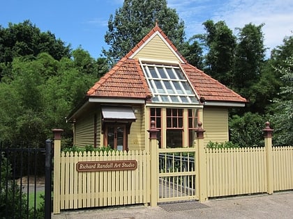
Nearby attractions include: Brisbane Botanic Gardens, J C Slaughter Falls, Sir Thomas Brisbane Planetarium, Richard Randall Art Studio.
Frequently Asked Questions (FAQ)
Which popular attractions are close to Simpson Falls?
Nearby attractions include J C Slaughter Falls (18 min walk), Mount Coot-tha Forest, Brisbane (23 min walk).
How to get to Simpson Falls by public transport?
The nearest stations to Simpson Falls:
Bus
Bus
- Stuartholme Road at Stuartholme College stop 32 • Lines: 471 (28 min walk)
- Birdwood Terrace at Stuartholme stop 31 • Lines: 471 (31 min walk)


