Skyline, Brisbane
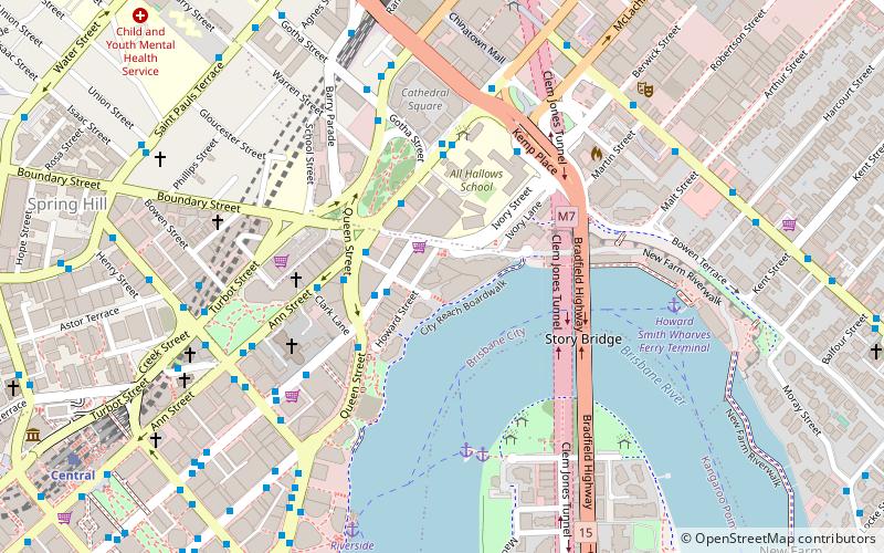
Map

Map

Facts and practical information
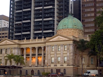
Skyline Apartments is a skyscraper in Brisbane, Queensland, Australia located in the CBD residential precinct known as Petrie Bight. Upon completion it was the third tallest residential building in Brisbane. ()
Opened: 2007 (19 years ago)Floors: 47Coordinates: 27°27'46"S, 153°1'59"E
Address
30 Macrossan StreetBrisbane CityBrisbane
ContactAdd
Social media
Add
Day trips
Skyline – popular in the area (distance from the attraction)
Nearby attractions include: Story Bridge, McWhirters, Brunswick Street Mall, Customs House.
Frequently Asked Questions (FAQ)
Which popular attractions are close to Skyline?
Nearby attractions include Soleil, Brisbane (2 min walk), Ann Street, Brisbane (3 min walk), Mercy Heritage Centre Brisbane, Brisbane (4 min walk), Centenary Place, Brisbane (4 min walk).
How to get to Skyline by public transport?
The nearest stations to Skyline:
Bus
Ferry
Train
Bus
- Queen Street Stop 67 near Ann St • Lines: 204, 470 (3 min walk)
- Queen Street Stop 66 near Adelaide St • Lines: 470 (4 min walk)
Ferry
- Holman Street Ferry Terminal • Lines: Chop-400, Xrvr-400 (6 min walk)
- Eagle Street Pier Ferry Terminal • Lines: Chop-400, Xrvr-400 (12 min walk)
Train
- Fortitude Valley (13 min walk)
- Central (13 min walk)


