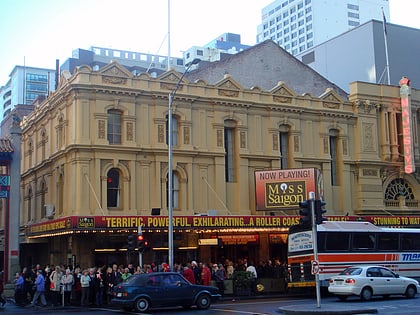
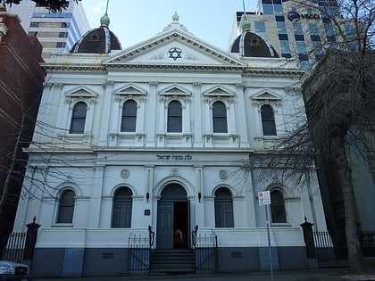
Spring Street, Melbourne
Map

Gallery
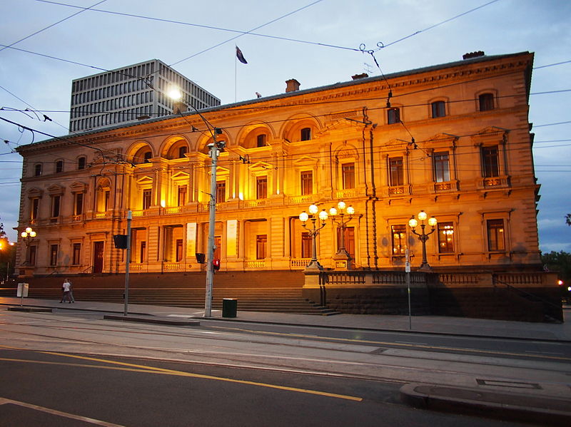
Facts and practical information
Spring Street is a major street in the central business district of Melbourne, Australia. It runs roughly north-south and is the easternmost street in the original 1837 Hoddle Grid. ()
Coordinates: 37°48'42"S, 144°58'23"E
Day trips
Spring Street – popular in the area (distance from the attraction)
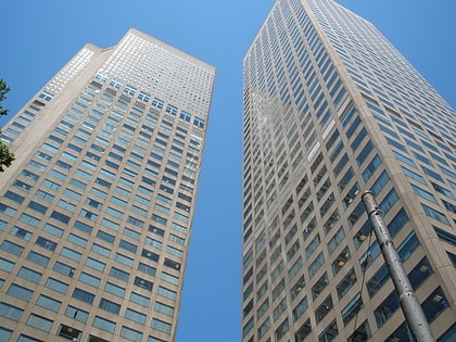
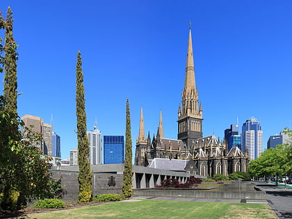
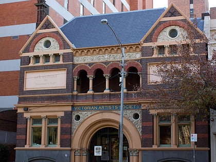
Nearby attractions include: Collins Place, St Patrick's Cathedral, Lutheran Trinity Church, Victorian Artists Society.
Frequently Asked Questions (FAQ)
Which popular attractions are close to Spring Street?
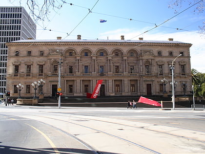
Nearby attractions include Parliament House, Melbourne (2 min walk), Princess Theatre, Melbourne (3 min walk), Great Petition Sculpture, Melbourne (3 min walk), Old Treasury Building, Melbourne (4 min walk).
How to get to Spring Street by public transport?
The nearest stations to Spring Street:
Tram
Train
Bus
Tram
- Stop 9: Bourke Street • Lines: 35 (1 min walk)
- Stop 9: Spring Street • Lines: 86, 86a, 86d, 96, 96d (1 min walk)
Train
- Parliament (2 min walk)
- Flinders Street (14 min walk)
Bus
- Spring Street/Lonsdale Street • Lines: 303, 350 (5 min walk)
- Exhibition Street/Lonsdale Street • Lines: 250, 251, 303, 350 (6 min walk)

 Melbourne Trams
 Victoria Trains