Lake Zell, Zell am See
Map
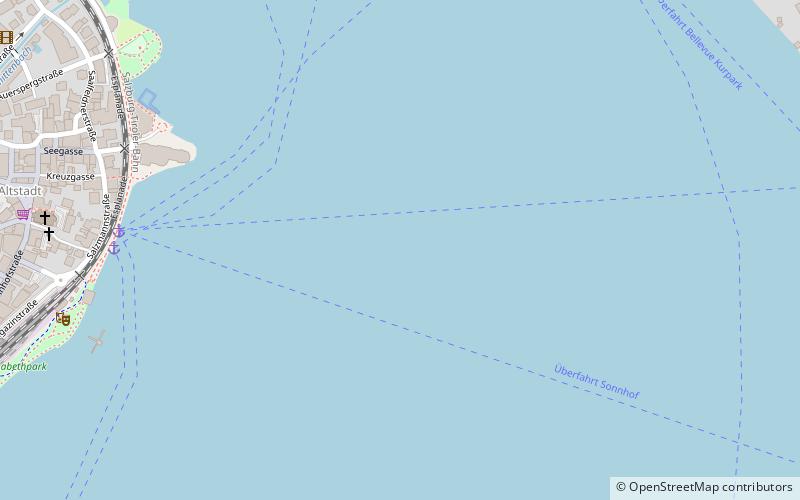
Map

Facts and practical information
Lake Zell is a small freshwater lake in the Austrian Alps. It takes its name from the city of Zell am See, which is located on a small delta protruding into the lake. The lake is 4 kilometres long and 1.5 kilometres wide. It is up to 73 metres deep and at an elevation of 750 metres above sea level. ()
Local name: Zeller See Area: 1.76 mi²Length: 2.49 miWidth: 4921 ftMaximum depth: 240 ftElevation: 2461 ft a.s.l.Coordinates: 47°19'21"N, 12°48'22"E
Address
Zell am See
ContactAdd
Social media
Add
Day trips
Lake Zell – popular in the area (distance from the attraction)
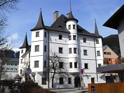
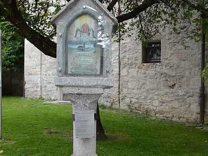
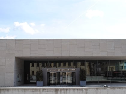
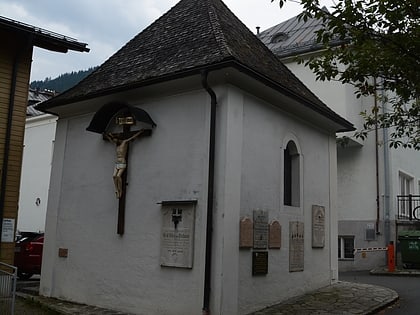
Nearby attractions include: Schloss Rosenberg, Marterl, Ferry Porsche Congress Center, Marienkapelle.
Frequently Asked Questions (FAQ)
Which popular attractions are close to Lake Zell?
Nearby attractions include War Memorial, Zell am See (9 min walk), Marienkapelle, Zell am See (9 min walk), Marterl, Zell am See (9 min walk), Blume, Zell am See (11 min walk).
How to get to Lake Zell by public transport?
The nearest stations to Lake Zell:
Train
Bus
Train
- Zell am See (12 min walk)
- Schüttdorf Tischlerhäusl (30 min walk)
Bus
- Thumersbach Bellevue • Lines: 70 (12 min walk)
- Zell am See Bahnhof • Lines: 260, 640, 650, 660, 670, 680, 70 (13 min walk)

