Lungauer Landschaftsmuseum, Mauterndorf

Gallery (1)
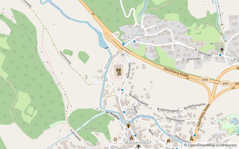
Map
Map
Facts and practical information
Lungauer Landschaftsmuseum is a place located in Mauterndorf (Salzburg state) and belongs to the category of museum.
It is situated at an altitude of 3720 feet, and its geographical coordinates are 47°8'14"N latitude and 13°40'42"E longitude.
Among other places and attractions worth visiting in the area are: Burg Mauterndorf (specialty museum, 1 min walk), Großer Hafner (nature, 39 min walk), Schloss Moosham, Tamsweg (history museum, 71 min walk).
Coordinates: 47°8'14"N, 13°40'42"E
Address
Mauterndorf
ContactAdd
Social media
Add
Day trips


