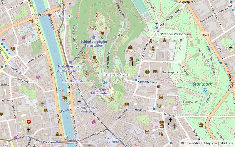
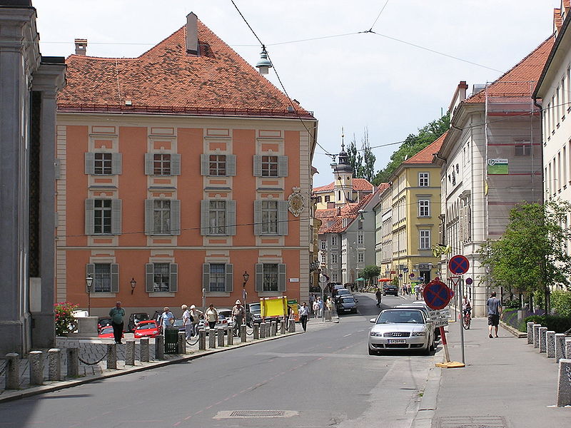
Innere Stadt, Graz
Map

Gallery

Facts and practical information
- Antoniuskirche
- Burg
- Deutschritterordenshaus
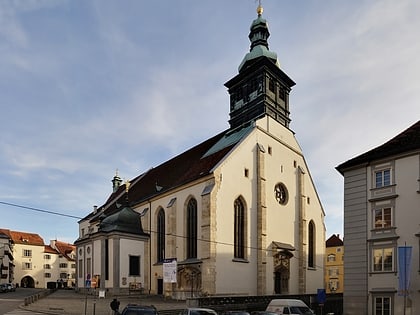
- Dom and Mausoleum
- Dreifaltigkeitskirche
- Franziskanerkirche
- Glockenspielplatz
- Hauptplatz
- Herrengasse
- Landhaus
- Landeszeughaus
- Murinsel
- Opernhaus
- Rathaus
- Sackstraße
- Schauspielhaus
- Schloßberg
- Sporgasse
- Stadtpark
- Stadtpfarrkirche
- Universalmuseum Joanneum
Alternative names: Unesco: from 1999Area: 177.84 acres (0.2779 mi²)Coordinates: 47°4'27"N, 15°26'19"E
Address
Innere StadtGraz
ContactAdd
Social media
Add
Day trips
Innere Stadt – popular in the area (distance from the attraction)
Nearby attractions include: Kunsthaus, Styrian Armoury, Schlossberg, Murinsel.
Frequently Asked Questions (FAQ)
Which popular attractions are close to Innere Stadt?
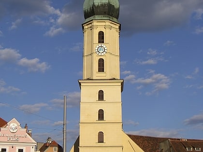
Nearby attractions include Clock Tower, Graz (2 min walk), Sankt-Antonius-Kirche, Graz (2 min walk), Volkskundemuseum, Graz (2 min walk), Karmeliterplatz, Graz (3 min walk).
How to get to Innere Stadt by public transport?
The nearest stations to Innere Stadt:
Train
Bus
Tram
Train
- Fairytale Express (2 min walk)
- Schloßbergbahn Bergstation (4 min walk)
Bus
- Karmeliterplatz • Lines: 30 (2 min walk)
- Schloßbergplatz/Murinsel • Lines: N5 (4 min walk)
Tram
- Schloßbergplatz/Murinsel • Lines: 3, 5 (4 min walk)
- Hauptplatz/Congress • Lines: 1, 3, 4, 5, 6, 7 (6 min walk)


