Vienna Woods
Map

Map

Facts and practical information
The Vienna Woods are forested highlands that form the northeastern foothills of the Northern Limestone Alps in the states of Lower Austria and Vienna. The 45-kilometre-long and 20–30-kilometre-wide range of hills is heavily wooded and a popular recreation area with the Viennese. ()
Local name: Wienerwald Area: 386.1 mi²Maximum elevation: 2930 ftElevation: 2930 ftCoordinates: 48°5'14"N, 15°54'43"E
Location
Lower Austria
ContactAdd
Social media
Add
Day trips
Vienna Woods – popular in the area (distance from the attraction)
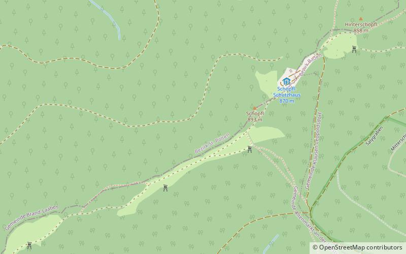
Nearby attractions include: Burgruine Araburg, Schöpfl, Pfarrkirche Altlengbach, hl. Johannes Nepomuk.


