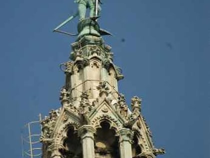
Rathauspark, Vienna
Map
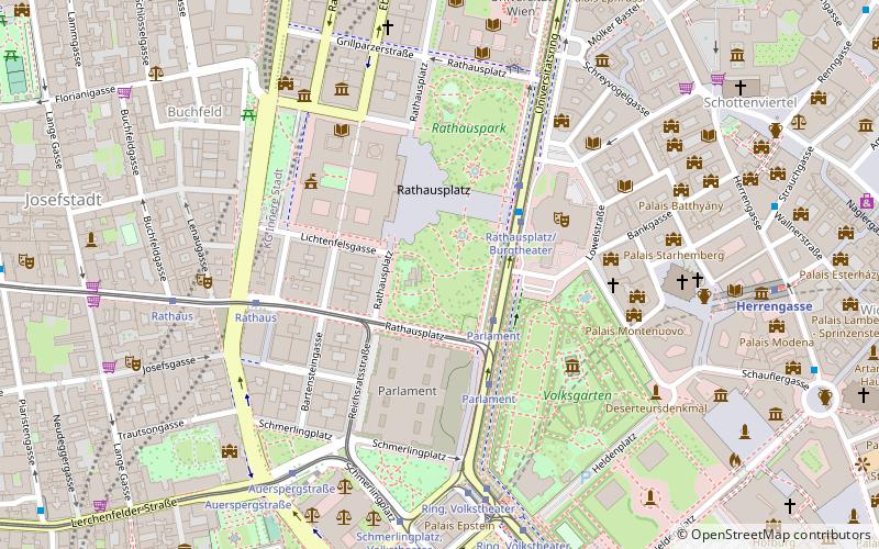
Map

Facts and practical information
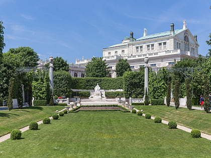
Rathauspark is a 40,000 square meter park in Vienna, Austria, located across the street from the Vienna City Hall. ()
Day trips
Rathauspark – popular in the area (distance from the attraction)
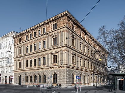
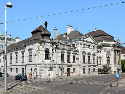
Nearby attractions include: Natural History Museum, Austrian Parliament Building, City Hall, Burgtheater.
Frequently Asked Questions (FAQ)
Which popular attractions are close to Rathauspark?
Nearby attractions include Rathausplatz, Vienna (2 min walk), Rathausmann, Vienna (3 min walk), Austrian Parliament Building, Vienna (3 min walk), City Hall, Vienna (3 min walk).
How to get to Rathauspark by public transport?
The nearest stations to Rathauspark:
Tram
Bus
Metro
Light rail
Ferry
Train
Tram
- Parlament • Lines: 1, 2, 71, D, U2Z (3 min walk)
- Rathausplatz/Burgtheater • Lines: 1, 71, D, U2Z (3 min walk)
Bus
- Rathausplatz/Burgtheater • Lines: N25, N38, N60, N66 (3 min walk)
- Ring, Volkstheater • Lines: 48A, N25, N38, N46, N60, N66 (6 min walk)
Metro
- Volkstheater • Lines: U3 (8 min walk)
- Herrengasse • Lines: U3 (8 min walk)
Light rail
- Oper, Karlsplatz • Lines: 62, Wlb (19 min walk)
- Karlsplatz • Lines: 1, 62, Wlb (21 min walk)
Ferry
- Nationalparkboot Lobau (21 min walk)
Train
- Wien Franz-Josefs-Bahnhof (31 min walk)
- Wien Mitte (31 min walk)


