Belvedere Palace Chapel, Vienna
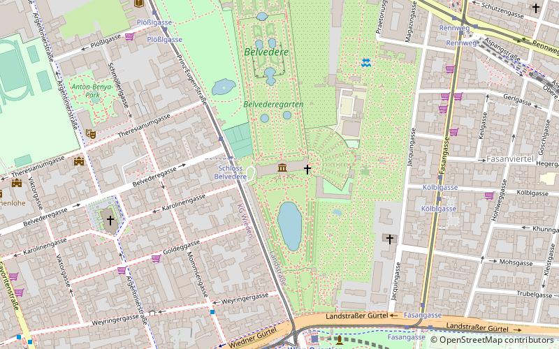
Map

Map

Facts and practical information
Coordinates: 48°11'29"N, 16°22'51"E
Address
LandstraßeVienna
ContactAdd
Social media
Add
Day trips
Belvedere Palace Chapel – popular in the area (distance from the attraction)
Nearby attractions include: Belvedere, Karlskirche, Museum of Military History, Palais Erzherzog Ludwig Viktor.
Frequently Asked Questions (FAQ)
Which popular attractions are close to Belvedere Palace Chapel?
Nearby attractions include Österreichische Galerie Belvedere, Vienna (2 min walk), Belvedere, Vienna (4 min walk), Botanical Garden, Vienna (4 min walk), Palais Rothschild, Vienna (7 min walk).
How to get to Belvedere Palace Chapel by public transport?
The nearest stations to Belvedere Palace Chapel:
Tram
Bus
Train
Metro
Light rail
Tram
- Schloss Belvedere • Lines: D (3 min walk)
- Kölblgasse • Lines: O (6 min walk)
Bus
- Mommsengasse • Lines: 13A (6 min walk)
- Argentinierstraße • Lines: 13A (7 min walk)
Train
- Wien Quartier Belvedere (7 min walk)
- Wien Rennweg (10 min walk)
Metro
- Südtiroler Platz-Hauptbahnhof • Lines: U1 (12 min walk)
- Taubstummengasse • Lines: U1 (13 min walk)
Light rail
- Mayerhofgasse • Lines: 1, 62, Wlb (17 min walk)
- Johann-Strauß-Gasse • Lines: 1, 62, Wlb (18 min walk)


