Zirler Berg

Gallery (4)
Map

Map
Gallery
Facts and practical information
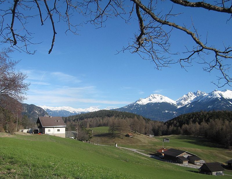
The Zirler Berg near Zirl in the Austrian federal state of Tyrol is a mountain, 1,057 m high, in the Karwendel Alps, a western part of the Northern Limestone Alps. It is a southern foothill of the Reither Spitze and is known mainly because the Seefelder Straße on its southern slopes climbs through 388 metres in a distance of less than 4 kilometres from Zirl in the Inn valley to Leithen on the Seefeld Plateau. ()
Location
Tyrol
ContactAdd
Social media
Add
Day trips