Local History Museum, Krumbach

Gallery (1)
Map
Map
Facts and practical information
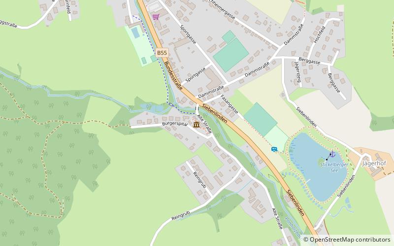
Local History Museum (address: Burgerspital 2) is a place located in Krumbach (Lower Austria state) and belongs to the category of museum.
It is situated at an altitude of 1696 feet, and its geographical coordinates are 47°31'0"N latitude and 16°11'41"E longitude.
Among other places and attractions worth visiting in the area are: Schloss Krumbach (historical place, 25 min walk), Zöbern (town, 92 min walk), Burgruine Kirchschlag, Kirchschlag in der Buckligen Welt (historical place, 124 min walk).
Local name: HeimatmuseumCoordinates: 47°31'0"N, 16°11'41"E
Address
Burgerspital 2Krumbach 2851
Contact
+43 2647 4223820
Social media
Add
Day trips


